


Die Tour kann sowohl als Fortsetzung des ersten Teils (Tour #118175) von Aichtal kommend, aber auch als separate Tour geplant werden.
Los geht es in Glatt am Wasserschloß, dem 3 Flüsse Radweg entlang, bis wir schließlich auf den Kinzigtal-Radweg stoßen, diesem stetig folgend geht es bergab immer Richtung Rheinebene Offenburg, bzw. in diesem Fall nach Niederschopfheim / Hohberg.
Von dort, oder von Offenburg kann die Bahn genommen werden um evtl. wiedr an den Ausgangspunkt nach Aichtal bei Stutgart zu kommen.
Am Startpunkt bei Glatt gibt es lt. meinem Kenntnisstand keine Anbindung an das öffentliche Bahnnetz.
Bitte lasst mich wissen, ob Euch die Tour gefallen hat, viel Spaß dabei!
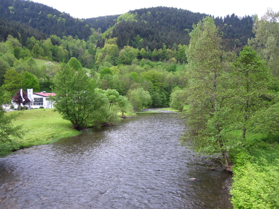
Galerie du tour

Carte du tour et altitude
Minimum height 161 m
Maximum height 681 m
More about the tour author
|
|
wolkoll |
Commentaires

Von Sulz, oder Horb am Neckar kommend bis Glatt zum Startpunkt.
Oder Fortsetzung des ersten Teilstücks der Tour von Aichtal und erfolgter Übernachtung in Glatt.
Tracks GPS
Trackpoints-
GPX / Garmin Map Source (gpx) download
-
TCX / Garmin Training Center® (tcx) download
-
CRS / Garmin Training Center® (crs) download
-
Google Earth (kml) download
-
G7ToWin (g7t) download
-
TTQV (trk) download
-
Overlay (ovl) download
-
Fugawi (txt) download
-
Kompass (DAV) Track (tk) download
-
Feuille de tours (pdf) download
-
Original file of the author (gpx) download
More about the tour author
|
|
wolkoll |
Add to my favorites
Remove from my favorites
Edit tags
Open track
My score
Rate