


Wir starten am Wanderparkplatz neben der schönen alten Feuerwache in Kürten-Olpe.
Die Wanderung führt durch eine abwechslungsreiche Landschaft, d.h. offene Felder, Waldstücke, Bachläufe, kleine Ortschaften. Die Wege sind sehr gut ausgebaut, ab und an gibt es leichte Steigungen.
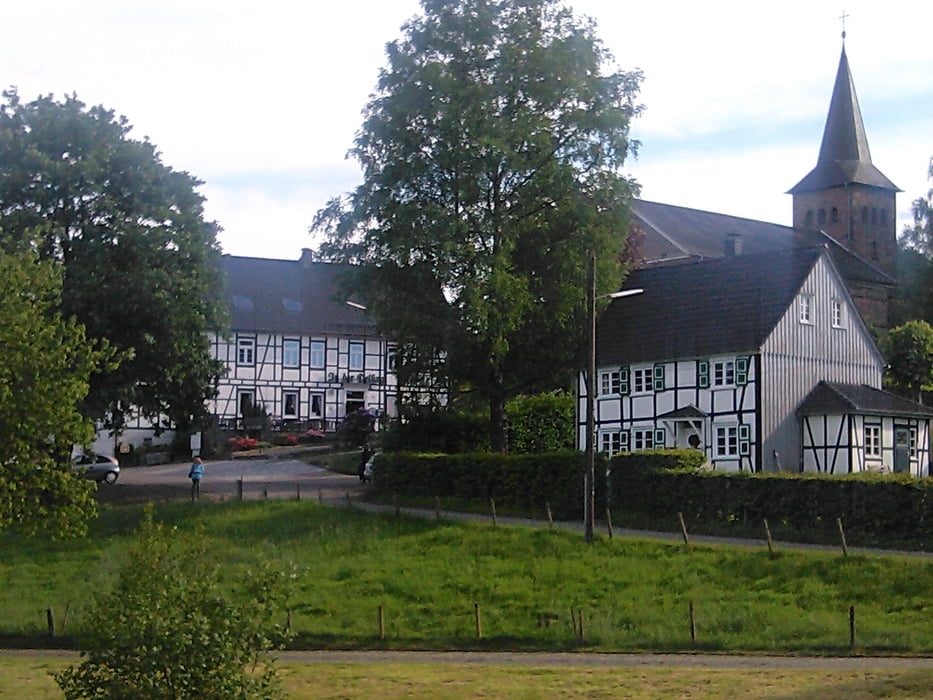
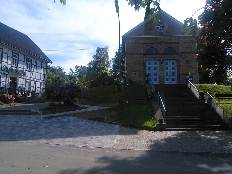
Man sollte unbedingt einen Abstecher nach Delling machen und sich dort die kleine Kapelle anschauen bzw. im Restaurant "In der Delling" einkehren.
Delling 12, 51515 Kürten, Öffnungszeiten tgl. ab 11 Uhr, außer Dienstag.
http://www.inderdelling.de
Von dort ist es auch nicht mehr weit zum Start/Ziel der Wanderung.
Wer aus Richtung Köln kommt, fährt unweigerlich durch Selbach wo der bekannte "Hähnchen Ewald" sein Restaurant betreibt. (Selbach 4, 51515 Kürten, Öffnungszeiten So - Fr 16.30 Uhr - 22 Uhr, Samstag Ruhetag) Dieses Lokal hat Kultstatus, so dass man zumindest einmal in seinem Leben bei "Hähnchen Ewald" einkehren sollte. http://www.haehnchen-ewald.de
Galerie du tour


Carte du tour et altitude
Minimum height 164 m
Maximum height 289 m
More about the tour author
|
|
Wandersocken |
Commentaires

Adresseingabe für Navi: Hauptstr. 26, 51515 Kürten
Wanderparkplatz neben alter Feuer bzw. gegenüber der Kirche
Tracks GPS
Trackpoints-
GPX / Garmin Map Source (gpx) download
-
TCX / Garmin Training Center® (tcx) download
-
CRS / Garmin Training Center® (crs) download
-
Google Earth (kml) download
-
G7ToWin (g7t) download
-
TTQV (trk) download
-
Overlay (ovl) download
-
Fugawi (txt) download
-
Kompass (DAV) Track (tk) download
-
Feuille de tours (pdf) download
-
Original file of the author (gpx) download
More about the tour author
|
|
Wandersocken |
Add to my favorites
Remove from my favorites
Edit tags
Open track
My score
Rate