Login

Login oublié ?

Cookies have to be accepted!
Your browser's cookie functionality is disabled. Please enable this functionality.

Not a member yet?

Register now
Login

Available for registred users only

Log in to use this feature.

Login oublié ?

Cookies have to be accepted!
Your browser's cookie functionality is disabled. Please enable this functionality.

Not a member yet?

Register now
Filter
Catégories
Advanced filters
  • Longueur (km)
  • Altimètre
Enregistrer le filtre Reset filter

TrackRank

QRCode

Technical data

Longueur25,6 km Altimètre765 m Way down752 m Durée02:30 h:m Date09.06.2013
Evaluations Author User Paysage Aspect amusement Condition Technique

Statistiques

1098 Vues 2 Evaluations 234 Téléchargements 2.00 Moyenne
Rate
  • Feuille de tours
  • Arrivée
  • Téléchargements
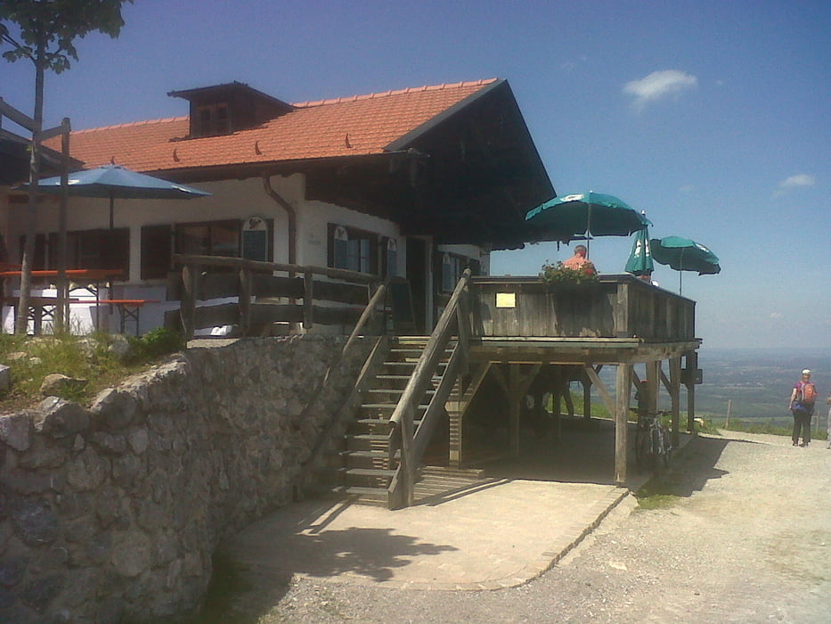
Schöne Tour mit durchschnittlich 6-7% Steigung. Ein wenig auf Asphalt aber überwiegend Forststraßen. Zum Schluß dann noch gemütlich auf der Tregleralm eine Brotzeit und ein kühles Bier

Galerie du tour

Carte du tour et altitude

  • Open Street Map
  • Google
Minimum height 536 m Maximum height 1197 m Vue de détail

More about the tour author

Stefan_K
Member since 2010

Send private message

Commentaires

in Bad Feilnbach direkt am Parkplatz geht es los

Tracks GPS

Trackpoints
  • GPX / Garmin Map Source (gpx) download
  • TCX / Garmin Training Center® (tcx) download
  • CRS / Garmin Training Center® (crs) download
  • Google Earth (kml) download
  • G7ToWin (g7t) download
  • TTQV (trk) download
  • Overlay (ovl) download
  • Fugawi (txt) download
  • Kompass (DAV) Track (tk) download
  • Feuille de tours (pdf) download
  • Original file of the author (gpx) download

More about the tour author

Stefan_K
Member since 2010

Send private message
Share track
Add to my favorites
Remove from my favorites
Edit tags
My score
Rate
Tour: Bad Feilnbach über den Eibelkopf zur Tregleralm
Cat.: Mountainbike
Longueur: 25,6 km
Evaluated on:
Durée:
Day(s)
Hour(s)
Minute(s)
Evaluation: Paysage Aspect amusement Condition Technique