
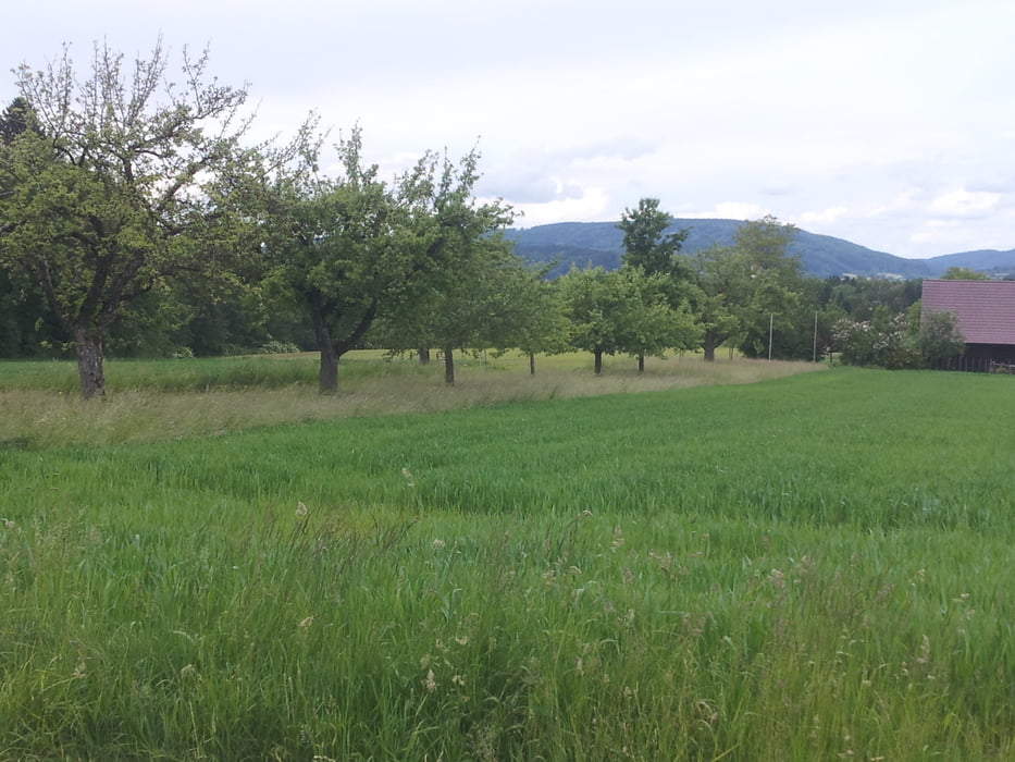

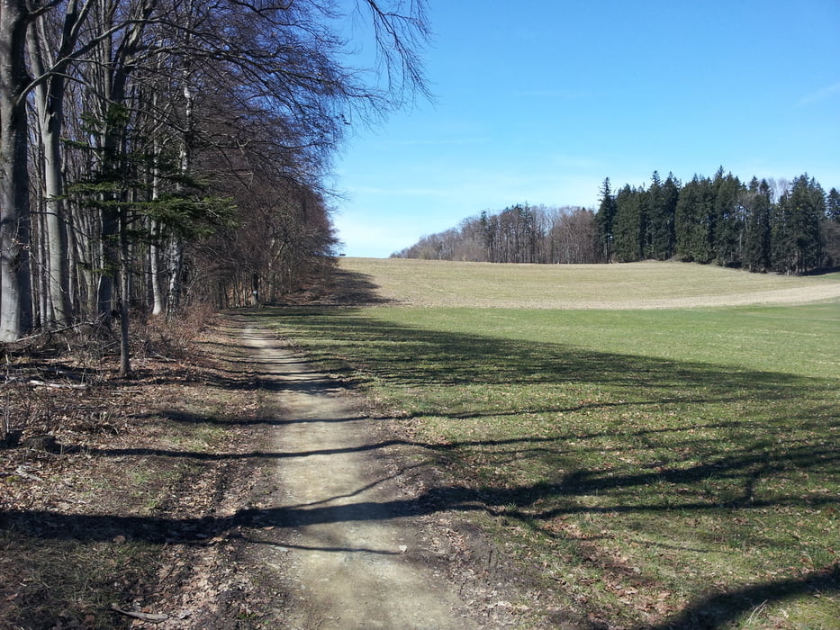
Von Oberteuringen nach Stadel und dann rauf, durch die Höfe durch, rechts halten. An der nächsten Abzweigung links, ein Stückchen den Premiumwanderweg entlang. Ohne große Höhenunterschiede unten am Gehrenberg entlag bis zum asphaltierten Weg. Auf dem fahren wir jetzt so lange, bis der Aussichtsturm kommt.
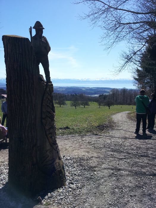
Eine Runde ums Plateau drehen, runtern nach Urnau, scharf rechts, dann links und jetzt rauf bis zur Gipfelhütte. Dann gehts wieder runter nach Oberteurignen.
Further information at
http://www.bergfex.de/sommer/gehrenberg-bodensee/Galerie du tour
Carte du tour et altitude
Minimum height 449 m
Maximum height 757 m
More about the tour author
|
|
Wayneschlegell |
Commentaires

Start am Edeka in Oberteuringen.
Tracks GPS
Trackpoints-
GPX / Garmin Map Source (gpx) download
-
TCX / Garmin Training Center® (tcx) download
-
CRS / Garmin Training Center® (crs) download
-
Google Earth (kml) download
-
G7ToWin (g7t) download
-
TTQV (trk) download
-
Overlay (ovl) download
-
Fugawi (txt) download
-
Kompass (DAV) Track (tk) download
-
Feuille de tours (pdf) download
-
Original file of the author (gpx) download
More about the tour author
|
|
Wayneschlegell |
Add to my favorites
Remove from my favorites
Edit tags
Open track
My score
Rate