Login

Login oublié ?

Cookies have to be accepted!
Your browser's cookie functionality is disabled. Please enable this functionality.

Not a member yet?

Register now
Login

Available for registred users only

Log in to use this feature.

Login oublié ?

Cookies have to be accepted!
Your browser's cookie functionality is disabled. Please enable this functionality.

Not a member yet?

Register now
Filter
Catégories
Advanced filters
  • Longueur (km)
  • Altimètre
Enregistrer le filtre Reset filter

TrackRank

QRCode

Technical data

Longueur15,9 km Altimètre587 m Way down592 m Durée02:01 h:m Date10.06.2013
Evaluations Author Paysage Aspect amusement Condition Technique

Statistiques

192 Vues Evaluations 29 Téléchargements Moyenne
Rate
  • Feuille de tours
  • Arrivée
  • Téléchargements
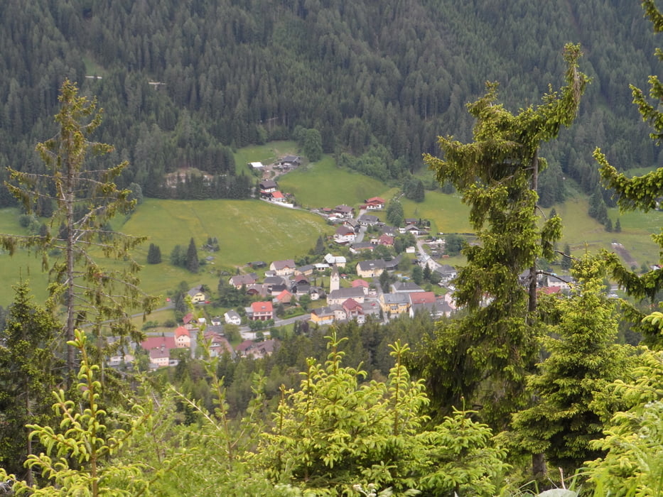
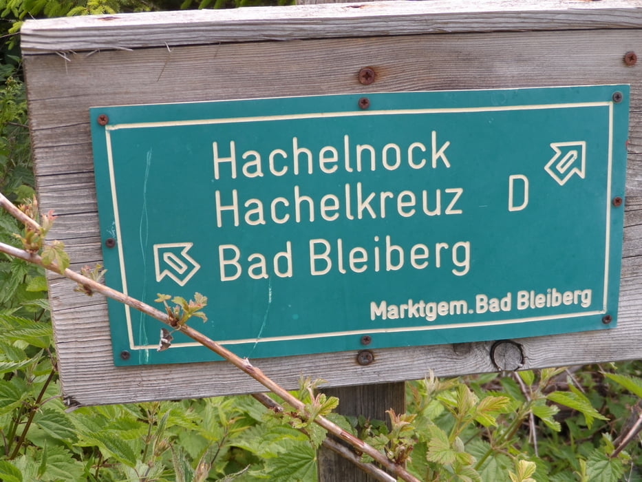
Tour beginnt in Bad Bleiberg und geht gleich mal steil bergauf,großteils auf Schotter.Die Abfahrt verläuft dann nur auf Schotter und kurz vor dem Ende noch mit einem kurzen Trail gespickt.Schöne Tour wenn nicht viel Zeit vorhanden.

Galerie du tour

Carte du tour et altitude

  • Open Street Map
  • Google
Minimum height 953 m Maximum height 1451 m Vue de détail

More about the tour author

plazo100
Member since 2009

Send private message

Commentaires

Tracks GPS

Trackpoints
  • GPX / Garmin Map Source (gpx) download
  • TCX / Garmin Training Center® (tcx) download
  • CRS / Garmin Training Center® (crs) download
  • Google Earth (kml) download
  • G7ToWin (g7t) download
  • TTQV (trk) download
  • Overlay (ovl) download
  • Fugawi (txt) download
  • Kompass (DAV) Track (tk) download
  • Feuille de tours (pdf) download
  • Original file of the author (gpx) download

More about the tour author

plazo100
Member since 2009

Send private message
Share track
Add to my favorites
Remove from my favorites
Edit tags
My score
Rate
Tour: Über Bad Bleiberg
Cat.: Mountainbike
Longueur: 15,9 km
Evaluated on:
Durée:
Day(s)
Hour(s)
Minute(s)
Evaluation: Paysage Aspect amusement Condition Technique