Start der Tour ist beim Sportplatz Ebreichsdorf
von hier geht es entlag der Fischa nach Unterwaltersdorf
über Feldwege nach Deutsch- und Leithaprodersdorf
weiter Richtung Stozing dann B11 in die Waldrandsiedlung von Loretto
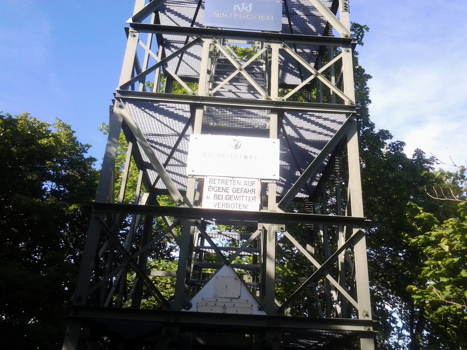
ab der Waldrandsiedlung MTB Strecke bis zur Buchkogelwarte
und nach Hornstein
weiter nach Wimpassing und Wampersdorf wieder zurück nach Ebreichsdorf
Galerie du tour
Carte du tour et altitude
Minimum height 178 m
Maximum height 469 m
Commentaires

Parkmöglichkeit Sportplatz Ebreichsdorf
Tracks GPS
Trackpoints-
GPX / Garmin Map Source (gpx) download
-
TCX / Garmin Training Center® (tcx) download
-
CRS / Garmin Training Center® (crs) download
-
Google Earth (kml) download
-
G7ToWin (g7t) download
-
TTQV (trk) download
-
Overlay (ovl) download
-
Fugawi (txt) download
-
Kompass (DAV) Track (tk) download
-
Feuille de tours (pdf) download
-
Original file of the author (gpx) download
Add to my favorites
Remove from my favorites
Edit tags
Open track
My score
Rate


