
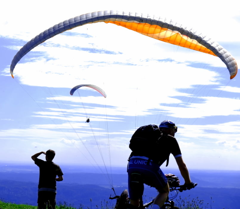

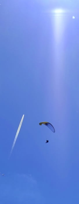
Die ersten etwa 6 Kilometer fahre ich auf der Hauptstraße, hinter Ktová bin ich endlich weg und Richtung Rovensko und Kozákov werden die Straßen immer schmaler und ruhiger. Schöne Landschaft, Mittelgebirge, fantastisches Wetter, besonders günstiger Wind für die Gleischirmflieger - auf Kozákov (744 m Meereshöhe) auch Tandemfliegen. Mache einige Fotos und dann zeigt mein Dreirad seine Stärke - niedriger Schwerpunkt, wenig Luftwiderstand... Die Abfahrt auf gutem Asphalt geht rasend schnell. Über Semily (vor der Stadt teilweise auf einem richitgen Radweg, keine Straße, also geht es auch in Tschechien, kaum zu glauben), Holenice (schon wieder diese kaputten Straßen) und Libuň dann langsam zurück.
Galerie du tour


Carte du tour et altitude
Minimum height 271 m
Maximum height 744 m
More about the tour author
|
|
pprokes |
Commentaires

Tracks GPS
Trackpoints-
GPX / Garmin Map Source (gpx) download
-
TCX / Garmin Training Center® (tcx) download
-
CRS / Garmin Training Center® (crs) download
-
Google Earth (kml) download
-
G7ToWin (g7t) download
-
TTQV (trk) download
-
Overlay (ovl) download
-
Fugawi (txt) download
-
Kompass (DAV) Track (tk) download
-
Feuille de tours (pdf) download
-
Original file of the author (gpx) download
More about the tour author
|
|
pprokes |
Add to my favorites
Remove from my favorites
Edit tags
Open track
My score
Rate