


- Rundkurs im Uhrzeigersinn
- 5 Km. einrollen nach Lana Talstation Seilbahn. Mit der Seilbahn auf ca. 1.400 HM.
- Von der Bergstation Forstweg zur Schwarzen Lacke, ca. 4 Km. - nicht steil.
- Einfahrt in den Trail bei der Schwarzen Lacke von ca. 1.700 MH. auf ca. 550 MH. .
- Auf dem alten Jocherweg(Trail) fahren wir bis zum Marlinger Waalweg, und anschliessend auf Teer ca. 1 Km. ins Dorf und weiter zum Start/Zielpunkt.
- Gute Beherrschung des Bikes unbedingt nötig.
- Start/Ziel: Marling - Marlinger Brücke - grosser, öffentlicher Parkplatz beim Piccolo Hotel.
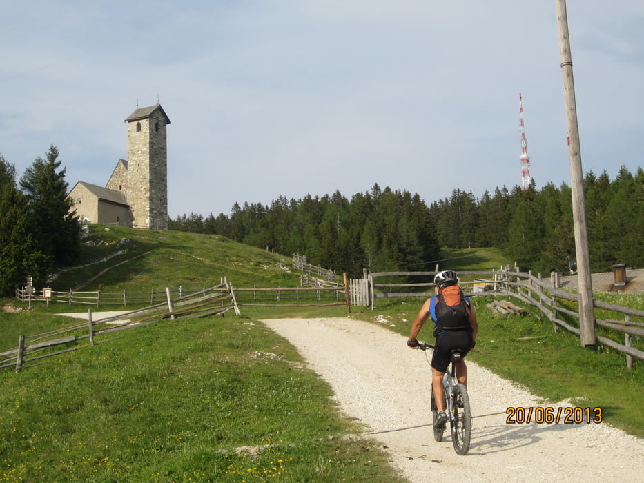
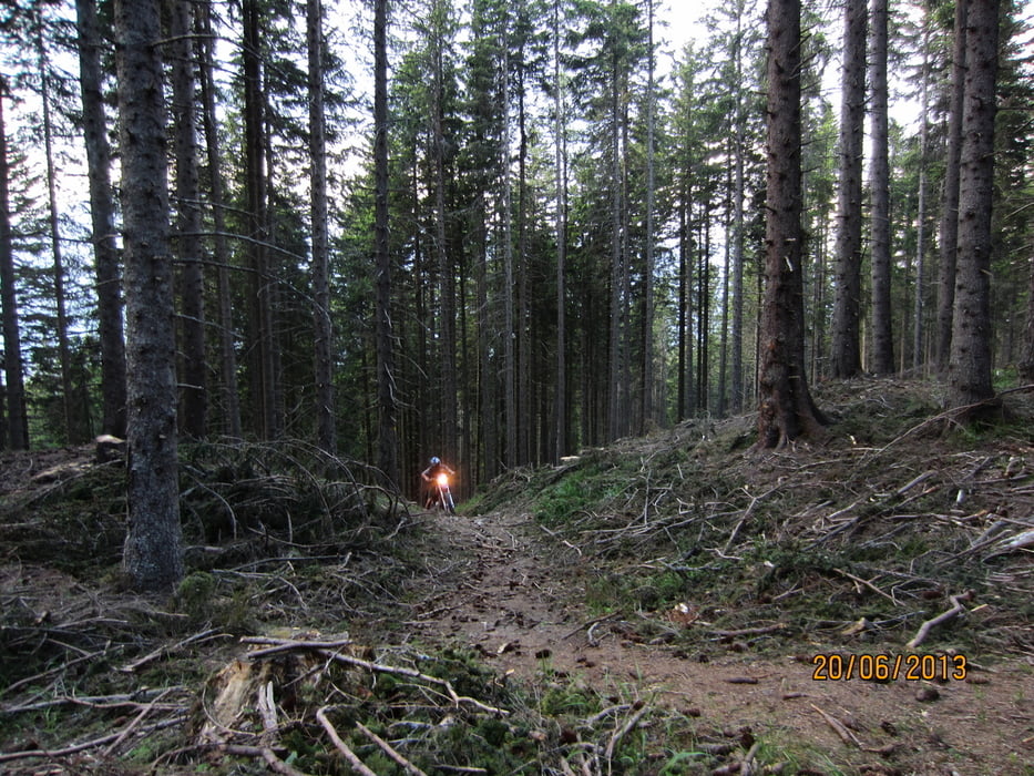
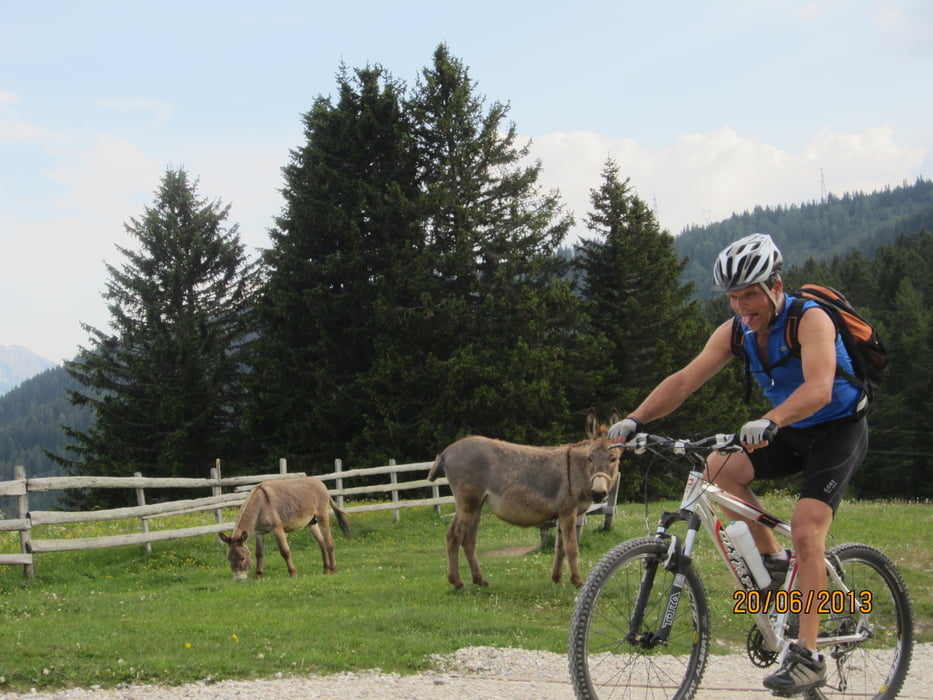
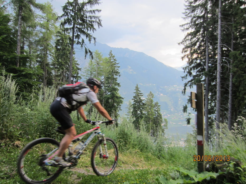
Galerie du tour
Carte du tour et altitude
Minimum height 295 m
Maximum height 1780 m
More about the tour author
|
|
MargesinFriedrich |
Commentaires

Tracks GPS
Trackpoints-
GPX / Garmin Map Source (gpx) download
-
TCX / Garmin Training Center® (tcx) download
-
CRS / Garmin Training Center® (crs) download
-
Google Earth (kml) download
-
G7ToWin (g7t) download
-
TTQV (trk) download
-
Overlay (ovl) download
-
Fugawi (txt) download
-
Kompass (DAV) Track (tk) download
-
Feuille de tours (pdf) download
-
Original file of the author (gpx) download
More about the tour author
|
|
MargesinFriedrich |
Add to my favorites
Remove from my favorites
Edit tags
Open track
My score
Rate