Login

Login oublié ?

Cookies have to be accepted!
Your browser's cookie functionality is disabled. Please enable this functionality.

Not a member yet?

Register now
Login

Available for registred users only

Log in to use this feature.

Login oublié ?

Cookies have to be accepted!
Your browser's cookie functionality is disabled. Please enable this functionality.

Not a member yet?

Register now
Filter
Catégories
Advanced filters
  • Longueur (km)
  • Altimètre
Enregistrer le filtre Reset filter

TrackRank

QRCode

Technical data

Longueur21,3 km Altimètre873 m Way down891 m Durée02:30 h:m Date23.06.2013
Evaluations Author Paysage Aspect amusement Condition Technique

Statistiques

372 Vues Evaluations 53 Téléchargements Moyenne
Rate
  • Feuille de tours
  • Arrivée
  • Téléchargements
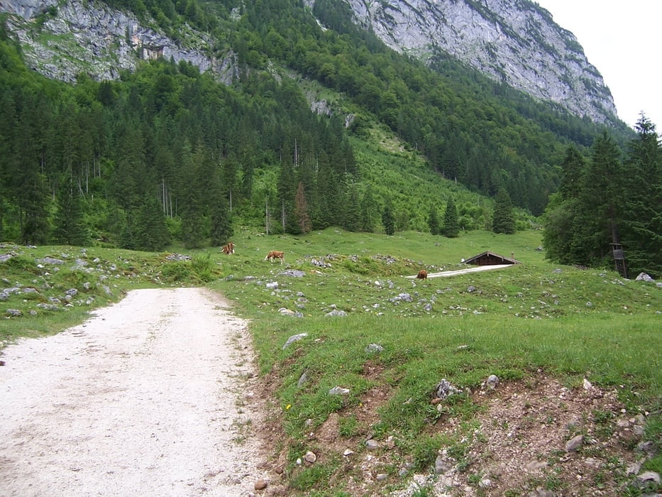
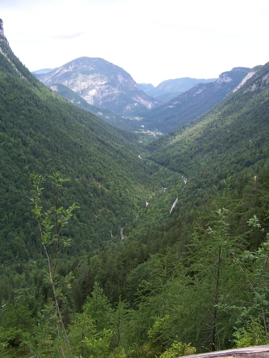
Start ist am Parkplatz des WHS Baumgarten. Danach geht es auf der B21 Richtung Unterjettenberg (der schönere Radweg an der Saalach war aufgrund von Hochwasserschäden im Juni/2013 gesperrt) . Nach einem kurzen Stück auf der B305 folgt ein schöner Weg direkt an dem Schwarzbach bis zum  WHS Schwarzbachwacht, danach Anstieg bis zur Anthauptenalm. Steiler Downhill  (-19%) zurück zum Ausgangspunkt.

Galerie du tour

Carte du tour et altitude

  • Open Street Map
  • Google
Minimum height 503 m Maximum height 1311 m Vue de détail

More about the tour author

ARUP
Member since 2009

Send private message

Commentaires

Tracks GPS

Trackpoints
  • GPX / Garmin Map Source (gpx) download
  • TCX / Garmin Training Center® (tcx) download
  • CRS / Garmin Training Center® (crs) download
  • Google Earth (kml) download
  • G7ToWin (g7t) download
  • TTQV (trk) download
  • Overlay (ovl) download
  • Fugawi (txt) download
  • Kompass (DAV) Track (tk) download
  • Feuille de tours (pdf) download
  • Original file of the author (tcx) download

More about the tour author

ARUP
Member since 2009

Send private message
Share track
Add to my favorites
Remove from my favorites
Edit tags
My score
Rate
Tour: Schwarzbachrunde
Cat.: Mountainbike
Longueur: 21,3 km
Evaluated on:
Durée:
Day(s)
Hour(s)
Minute(s)
Evaluation: Paysage Aspect amusement Condition Technique