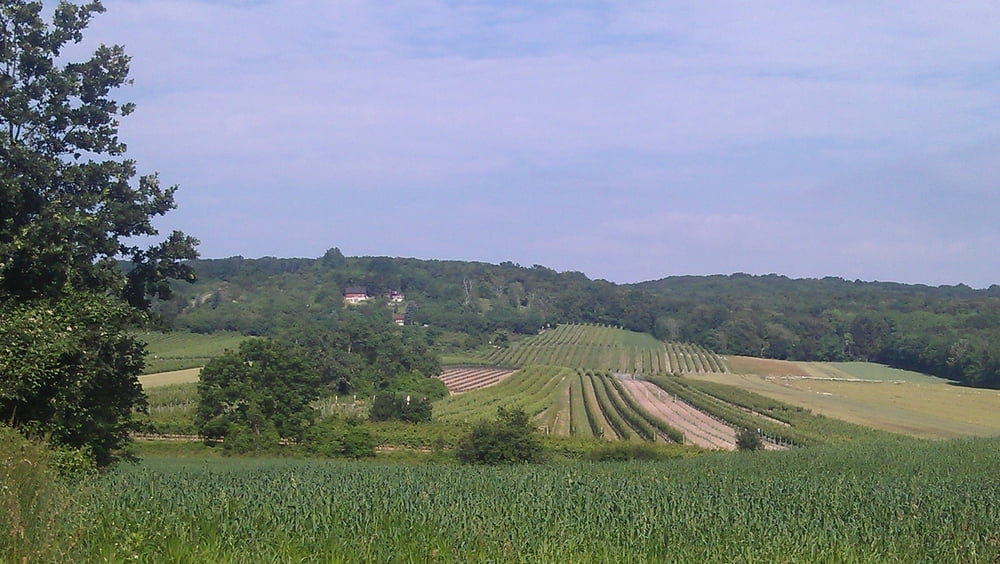
Die Tour beginnt in Wien Donaustadt und führt auf den Bisamberg. Die Abfahrt führt in den Ort Bisamberg. Das erste Teilstück der Abfahrt ist recht ausgewaschen und schwierig zu fahren. Vom Ort Bisamberg geht es an die Donau zur Rollfähre. Von dort wieder retour der Donau flussabwärts bis zur Bahnbrücke. Von hier aus geht es wieder nach Wien Donaustadt.
Carte du tour et altitude
Minimum height 142 m
Maximum height 333 m
Commentaires
Tracks GPS
Trackpoints-
GPX / Garmin Map Source (gpx) download
-
TCX / Garmin Training Center® (tcx) download
-
CRS / Garmin Training Center® (crs) download
-
Google Earth (kml) download
-
G7ToWin (g7t) download
-
TTQV (trk) download
-
Overlay (ovl) download
-
Fugawi (txt) download
-
Kompass (DAV) Track (tk) download
-
Feuille de tours (pdf) download
-
Original file of the author (gpx) download
Add to my favorites
Remove from my favorites
Edit tags
Open track
My score
Rate


Für Eltern mit Kindern