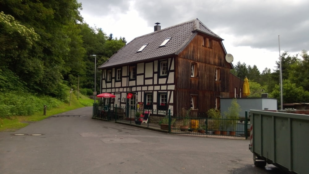
Login

Login oublié ?

Cookies have to be accepted!
Your browser's cookie functionality is disabled. Please enable this functionality.

Not a member yet?

Register now
Login

Available for registred users only

Log in to use this feature.

Login oublié ?

Cookies have to be accepted!
Your browser's cookie functionality is disabled. Please enable this functionality.

Not a member yet?

Register now
Filter
Catégories
Advanced filters
  • Longueur (km)
  • Altimètre
Enregistrer le filtre Reset filter

TrackRank

QRCode

Technical data

Longueur10,0 km Altimètre238 m Way down233 m Durée3 days 3 h Date23.06.2013
Evaluations Author User Paysage Aspect amusement Condition Technique

Statistiques

396 Vues 1 Evaluation 33 Téléchargements 4.00 Moyenne
Rate
  • Feuille de tours
  • Arrivée
  • Téléchargements
Sehr schöne Tour

Galerie du tour

Carte du tour et altitude

  • Open Street Map
  • Google
Minimum height 53 m Maximum height 204 m Vue de détail

More about the tour author

koelner1977
Member since 2012

Send private message

Commentaires

Start/ Ziel ist im Buch mit einer schlechten Naviadresse angegeben.

Besser Gasthaus Sieglinde direkt starten oder auf dr anderen Siegseite 53773 Hennef, Siegaue


Tracks GPS

Trackpoints
  • GPX / Garmin Map Source (gpx) download
  • TCX / Garmin Training Center® (tcx) download
  • CRS / Garmin Training Center® (crs) download
  • Google Earth (kml) download
  • G7ToWin (g7t) download
  • TTQV (trk) download
  • Overlay (ovl) download
  • Fugawi (txt) download
  • Kompass (DAV) Track (tk) download
  • Feuille de tours (pdf) download
  • Original file of the author (gpx) download

More about the tour author

koelner1977
Member since 2012

Send private message
Share track
Add to my favorites
Remove from my favorites
Edit tags
My score
Rate
Tour: Von Hennef nach Happerschoß aus Rother Wanderführer -Bergisches Land- Nr. 48
Cat.: Randonnées
Longueur: 10,0 km
Evaluated on:
Durée:
Day(s)
Hour(s)
Minute(s)
Evaluation: Paysage Aspect amusement Condition Technique