


So Leute,
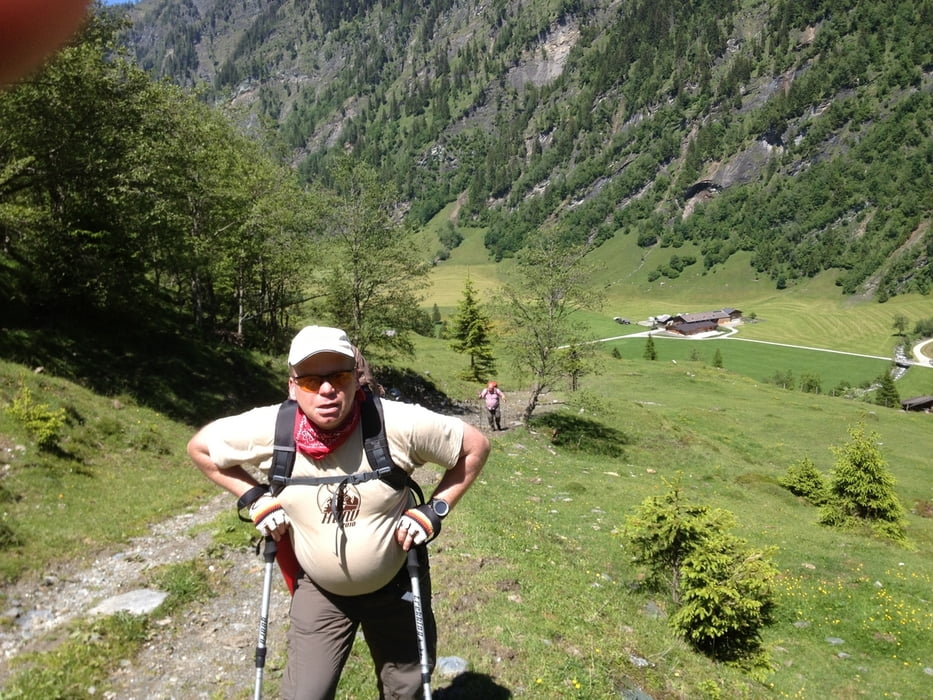
dies ist der erste Tag vom HWW 2013 (Herrenwanderwochenende) im Großarltal. Diesmal sind wir nur zu dritt, was aber genauso viel Spaß macht wie mit vielen Leuten.
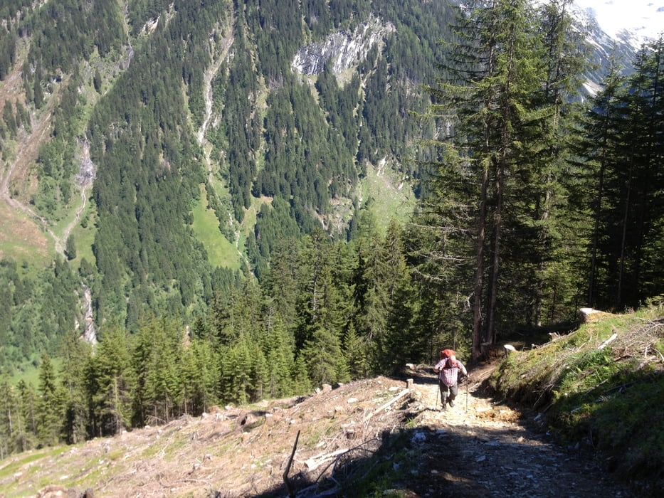
Start ist der Talwirt im Talende vom Großarltal. Bei super Wetter gibt es vorweg noch ein Bier und dann geht es los zur Lissi auf der Moderreggalm. Wir sind ein wenig spät dran und gehen deshalb den direkten Weg hoch zur Alm (ein Mörder-Anstieg). Wir haben vorher schon gebucht und bei Lissi einen Schweinebraten bestellt. Oben ist ein Topwetter und wir genießen die Sonne. Nachdem wir den Fernsehanschluß repariert haben, gibt es eine Zirbe und Essen.
Ist mal wieder ganz toll bei Lissi.
!!! Bitte bei der Tour die Anreise von Köln natürlich streichen. Habe vergessen vorher den Track zu löschen. Danke !!!!!!!!!!!!!!!
Further information at
http://www.grossarltal.info/Galerie du tour
Carte du tour et altitude
Minimum height 975 m
Maximum height 1725 m
More about the tour author
|
|
Lippo |
Commentaires

Anreise über Tauernautobahn, Abfahrt Bischofshofen. Bei St. Johann ins Großarltal abbiegen und bis Talende durchfahren.
Tracks GPS
Trackpoints-
GPX / Garmin Map Source (gpx) download
-
TCX / Garmin Training Center® (tcx) download
-
CRS / Garmin Training Center® (crs) download
-
Google Earth (kml) download
-
G7ToWin (g7t) download
-
TTQV (trk) download
-
Overlay (ovl) download
-
Fugawi (txt) download
-
Kompass (DAV) Track (tk) download
-
Feuille de tours (pdf) download
-
Original file of the author (gpx) download
More about the tour author
|
|
Lippo |
Add to my favorites
Remove from my favorites
Edit tags
Open track
My score
Rate