


Von Bad Radkersburg (Campingplatz an der Parktherme) über die Grenze nach Slowenien, Murska Sobata und weiter zum Grenzübergang nach Ungarn, weiter zum Grenzübergang in`s Burgenland dann über Heilig Kreuz im Lafnitztal, über die südoststeirischen Weinorte Kalch u. St.Anna zurück nach Bad Radkersburg.
Achtung: Einige Schotterwege für Rennrad also nicht geeignet!
Achtung: Einige Schotterwege für Rennrad also nicht geeignet!
Galerie du tour
Carte du tour et altitude
Minimum height 152 m
Maximum height 422 m
More about the tour author
|
|
Montecevedale |
Commentaires

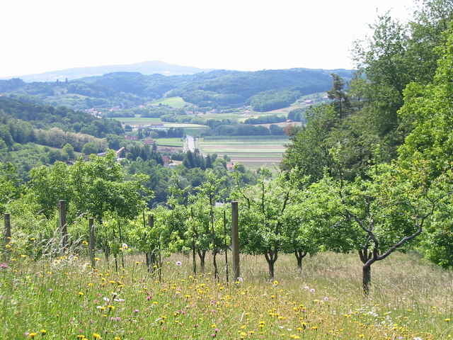
Bad Radkersburg in der Südoststeiermark
Tracks GPS
Trackpoints-
GPX / Garmin Map Source (gpx) download
-
TCX / Garmin Training Center® (tcx) download
-
CRS / Garmin Training Center® (crs) download
-
Google Earth (kml) download
-
G7ToWin (g7t) download
-
TTQV (trk) download
-
Overlay (ovl) download
-
Fugawi (txt) download
-
Kompass (DAV) Track (tk) download
-
Feuille de tours (pdf) download
-
Original file of the author (gpx) download
More about the tour author
|
|
Montecevedale |
Add to my favorites
Remove from my favorites
Edit tags
Open track
My score
Rate