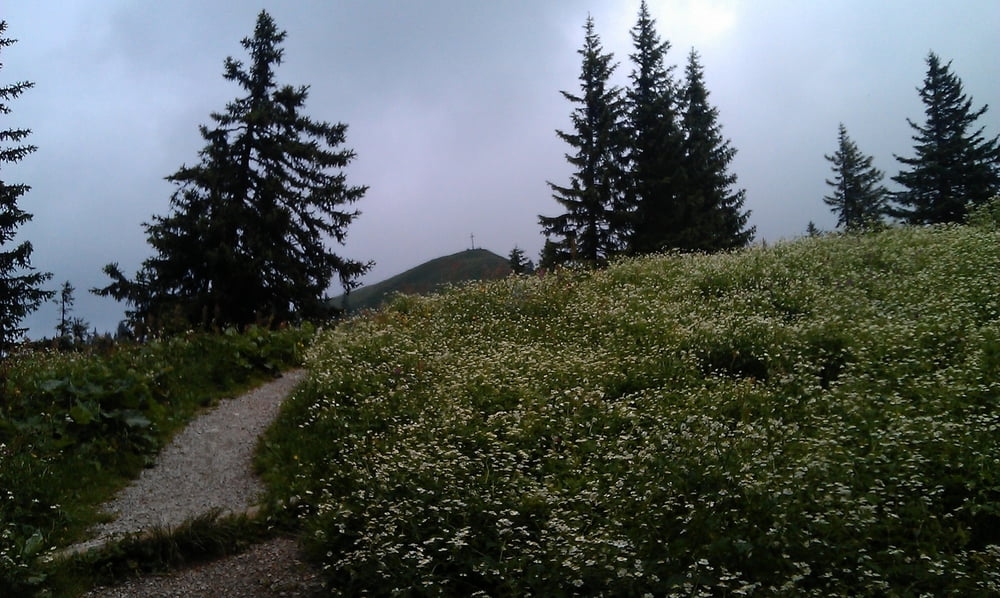
Aufstieg über Grasleitensteig. Vom Pakrplatz weg ist das ausgeschildert. Allerdings manchmal schwer zu sehen. Es geht schön über Wiesen, die im Frühjahr schön blühen. Immer durch den Wald und damit auch Hitze-geeignet gehts hoch bis zur Lenggrieser Hütte. Der Steig ist an keiner Stelle schwierig - Hände können in der Hostentasche bleiben.
Von der Lenggrieser Hütte gehts noch bis zum Gipfel ca. 200 HM. Leider war es etwas nebelig oben.
Der Abstieg ist dann von Forstweg geprägt.
Further information at
http://www.lenggries.deGalerie du tour
Carte du tour et altitude
Minimum height 608 m
Maximum height 1600 m
Commentaires

Über die A8 bis zur Ausfahrt Holzkirchen. Dort auf B13 nach Bad Tölz - Lenggries. In den Ort Lenggries fahren und immer der Hauptstraße folgen. Aus Lenggries herausfahren und kurz vor einer Kuppe links nach Hochburg abbiegen. Parkplatz mit Gebühr. Oder an der Schule 200 m vorher parken. Da kostests nix.
Tracks GPS
Trackpoints-
GPX / Garmin Map Source (gpx) download
-
TCX / Garmin Training Center® (tcx) download
-
CRS / Garmin Training Center® (crs) download
-
Google Earth (kml) download
-
G7ToWin (g7t) download
-
TTQV (trk) download
-
Overlay (ovl) download
-
Fugawi (txt) download
-
Kompass (DAV) Track (tk) download
-
Feuille de tours (pdf) download
-
Original file of the author (gpx) download
Add to my favorites
Remove from my favorites
Edit tags
Open track
My score
Rate


