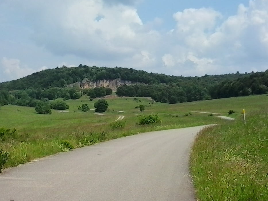
Anstieg über die Ziegelsteige und Sirchingen Rietheim nach Trailfingen und dann auf den TrTp
durch das Seebrucktal nach Seeburg und den Grünen Weg entlang nach Bad Urach.
Carte du tour et altitude
Minimum height 356 m
Maximum height 835 m
Commentaires

Start In Metzingen durch das Ermstal an den Wassefall in Bad Urach und dann über die Ziegelsteige auf die Alb.
Tracks GPS
Trackpoints-
GPX / Garmin Map Source (gpx) download
-
TCX / Garmin Training Center® (tcx) download
-
CRS / Garmin Training Center® (crs) download
-
Google Earth (kml) download
-
G7ToWin (g7t) download
-
TTQV (trk) download
-
Overlay (ovl) download
-
Fugawi (txt) download
-
Kompass (DAV) Track (tk) download
-
Feuille de tours (pdf) download
-
Original file of the author (gpx) download
Add to my favorites
Remove from my favorites
Edit tags
Open track
My score
Rate

