


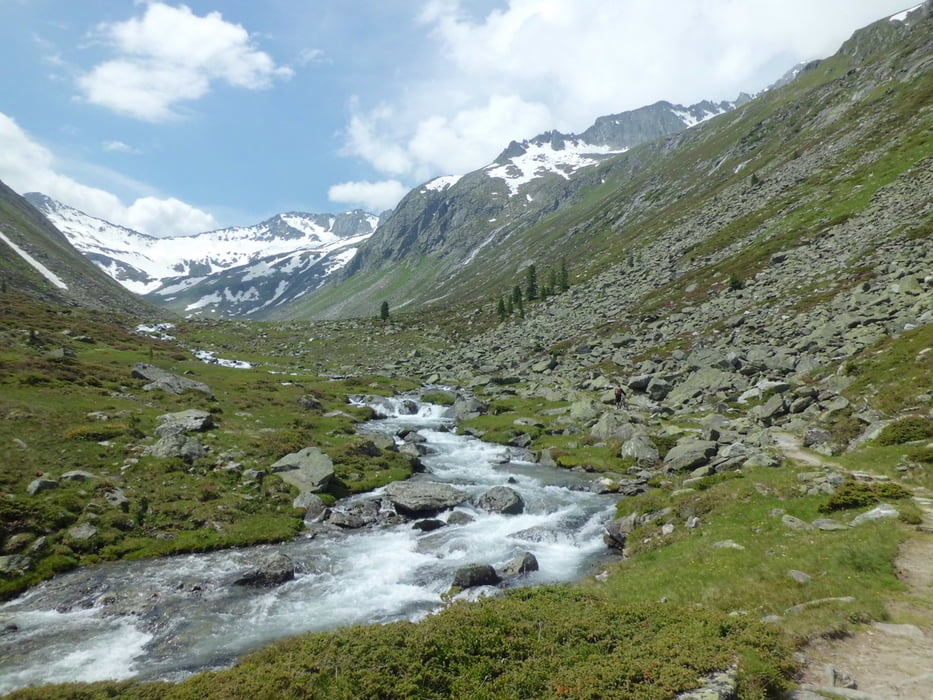
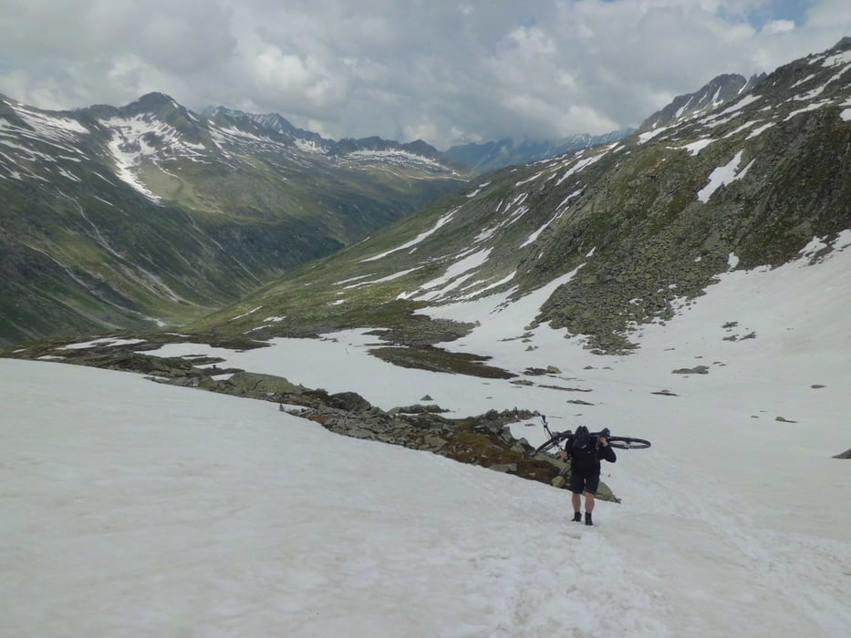
Wenig befahrener Übergang über den Alpenhauptkamm. Landschaftlich extrem beeindruckend, allerdings nicht ohne erheblichen Schiebe- und Trageanteil bergauf zu haben.
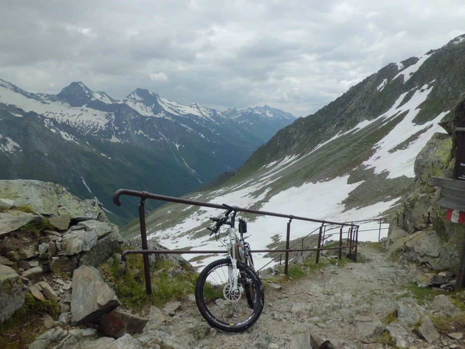
Die Abfahrt auf der italienischen Seite wurde kürzlich Instand gesetzt und ist auch für "Nicht-Freerider" weitgehend fahrbar. Allerdings ist eine gewisse Mindest-Technik schon vorausgesetzt. Es ist sicher keine einfache Abfahrt.
Normalerweise im Juli weniger schneelastig als im Zeitpunkt unserer Tour 2013.
Galerie du tour
Carte du tour et altitude
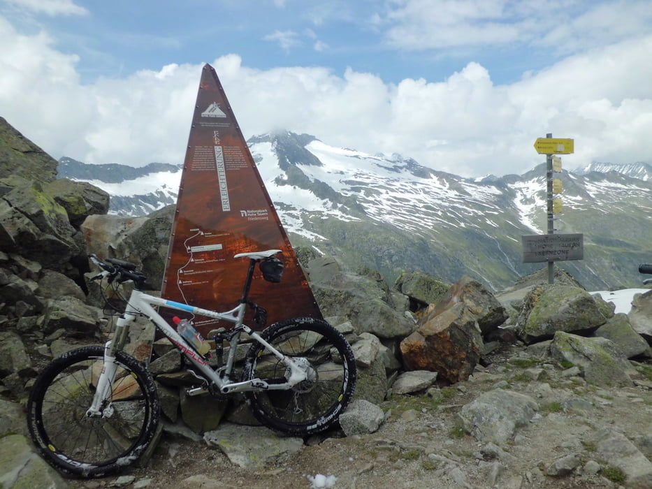
Minimum height 1068 m
Maximum height 2634 m
More about the tour author
|
|
branco68 |
Commentaires

2. Etappe einer Transalp mit anschließender Dolomitenrunde
Tracks GPS
Trackpoints-
GPX / Garmin Map Source (gpx) download
-
TCX / Garmin Training Center® (tcx) download
-
CRS / Garmin Training Center® (crs) download
-
Google Earth (kml) download
-
G7ToWin (g7t) download
-
TTQV (trk) download
-
Overlay (ovl) download
-
Fugawi (txt) download
-
Kompass (DAV) Track (tk) download
-
Feuille de tours (pdf) download
-
Original file of the author (gpx) download
More about the tour author
|
|
branco68 |
Add to my favorites
Remove from my favorites
Edit tags
Open track
My score
Rate