

Schöne Tour mit S0 - S2 Trails.
Die ersten 150Hm ist ein schöner Bergauftrail, bis auf ein paar Meter alles fahrbar.
Ebenso fordert der schöne Trail vom Bergrestaurant Hühnerköpfe(schöne Aussicht) zum Churer Joch noch ein paar Körner, ist aber komplett fahrbar.
Ansonsten sind die Anstiege leicht, Schotter/Teer.
Bei der ersten Abfahrt nach dem Churer Joch muß man ein paar Meter schieben.
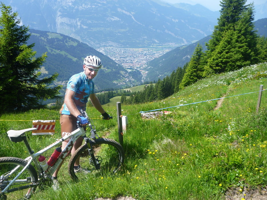
Auch sind immer wieder Weidezäune auf der Tour zu passieren.
Alle anderen Abfahrten mit ein paar S2 Stellen, sind komplett fahrbar.
Carte du tour et altitude
Minimum height 572 m
Maximum height 2025 m
More about the tour author
|
|
Traktion |
Commentaires

Tracks GPS
Trackpoints-
GPX / Garmin Map Source (gpx) download
-
TCX / Garmin Training Center® (tcx) download
-
CRS / Garmin Training Center® (crs) download
-
Google Earth (kml) download
-
G7ToWin (g7t) download
-
TTQV (trk) download
-
Overlay (ovl) download
-
Fugawi (txt) download
-
Kompass (DAV) Track (tk) download
-
Feuille de tours (pdf) download
-
Original file of the author (gpx) download
More about the tour author
|
|
Traktion |
Add to my favorites
Remove from my favorites
Edit tags
Open track
My score
Rate