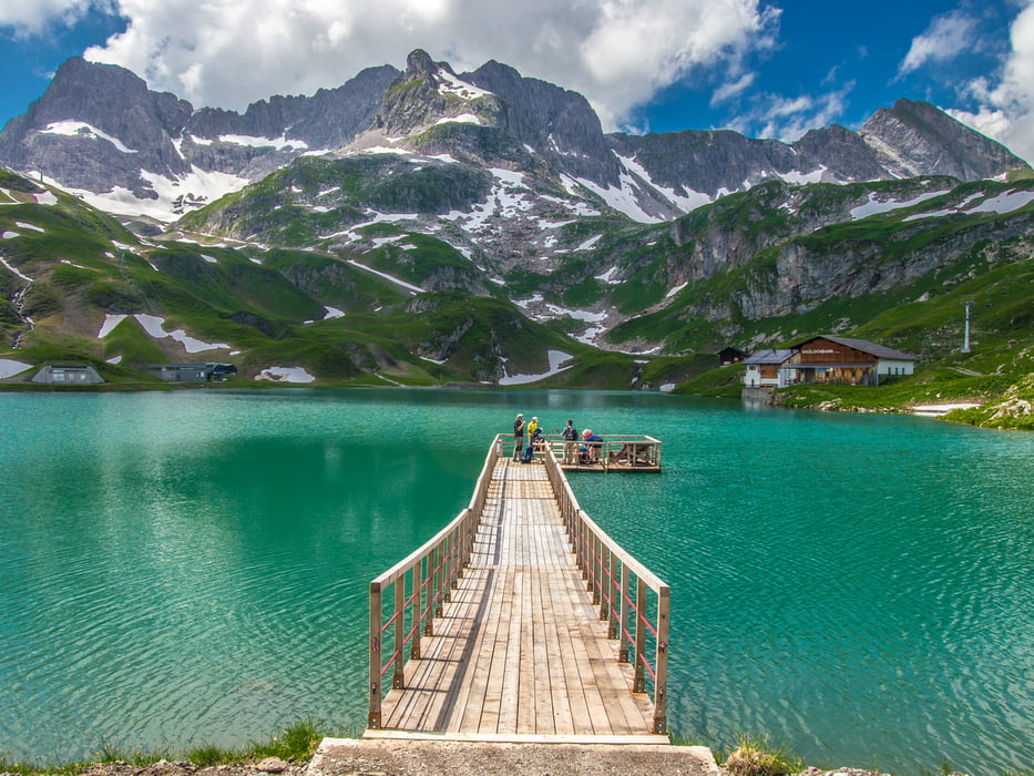
Vom Parkplatz Zürs Aufstieg über eine Schotterstraße bis zum Zürsersee. Es ist leider keine Beschilderung vorhanden. Bei der Weggabelung rechts abzweigen.
Vom Zürsersee hinab nach Zürs über einen markierten Wanderweg. Da man recht früh Zürs im Auge hat, kann man auch direkt über die Almen hinabsteigen.
Anschließend durch Zürs zurück zum Parkplatz.
Galerie du tour
Carte du tour et altitude
Minimum height 1703 m
Maximum height 2206 m
Commentaires

Parkplatz Zürs
Tracks GPS
Trackpoints-
GPX / Garmin Map Source (gpx) download
-
TCX / Garmin Training Center® (tcx) download
-
CRS / Garmin Training Center® (crs) download
-
Google Earth (kml) download
-
G7ToWin (g7t) download
-
TTQV (trk) download
-
Overlay (ovl) download
-
Fugawi (txt) download
-
Kompass (DAV) Track (tk) download
-
Feuille de tours (pdf) download
-
Original file of the author (gpx) download
Add to my favorites
Remove from my favorites
Edit tags
Open track
My score
Rate


