Login

Login oublié ?

Cookies have to be accepted!
Your browser's cookie functionality is disabled. Please enable this functionality.

Not a member yet?

Register now
Login

Available for registred users only

Log in to use this feature.

Login oublié ?

Cookies have to be accepted!
Your browser's cookie functionality is disabled. Please enable this functionality.

Not a member yet?

Register now
Filter
Catégories
Advanced filters
  • Longueur (km)
  • Altimètre
Enregistrer le filtre Reset filter

TrackRank

QRCode

Technical data

Longueur10,6 km Altimètre376 m Way down343 m Durée00:00 h:m Date22.07.2013
Evaluations Author Paysage Aspect amusement Condition Technique

Statistiques

288 Vues Evaluations 18 Téléchargements Moyenne
Rate
  • Feuille de tours
  • Arrivée
  • Téléchargements

Zorg voor voldoende drank voor onderweg want je komt niets tegen.

Vertrek en aankomst bij het Hunosteiner hof waar je voldoende parking vind en achteraf iets kan eten en drinken.
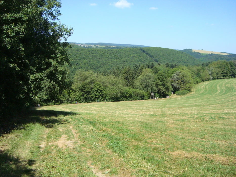
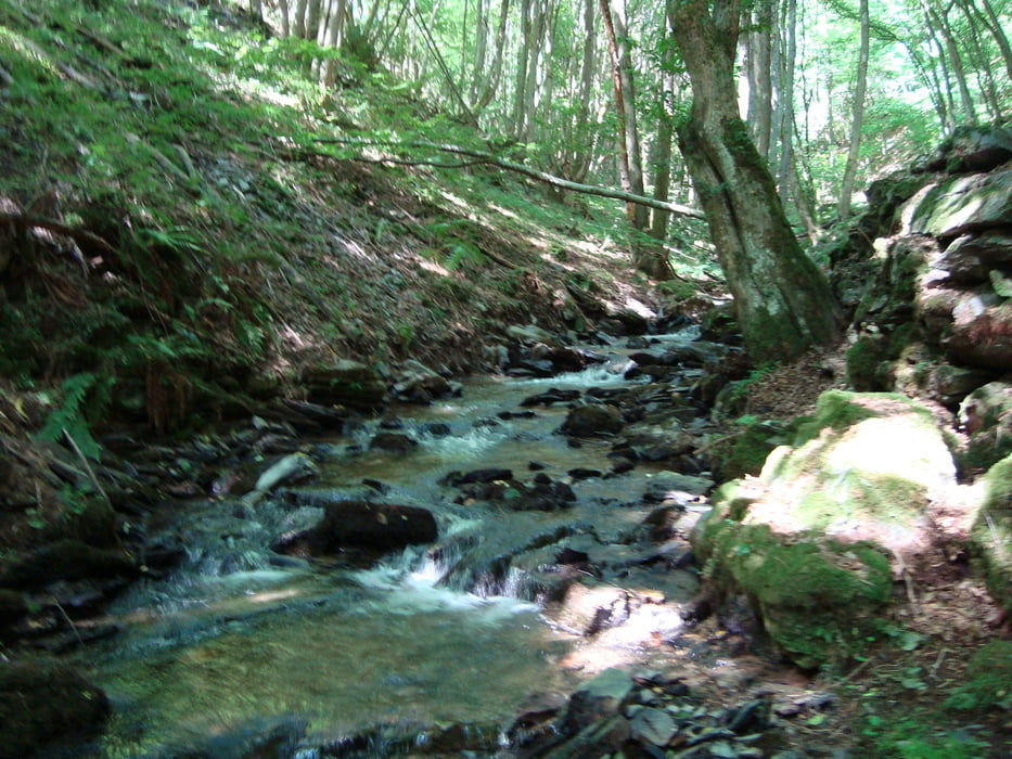
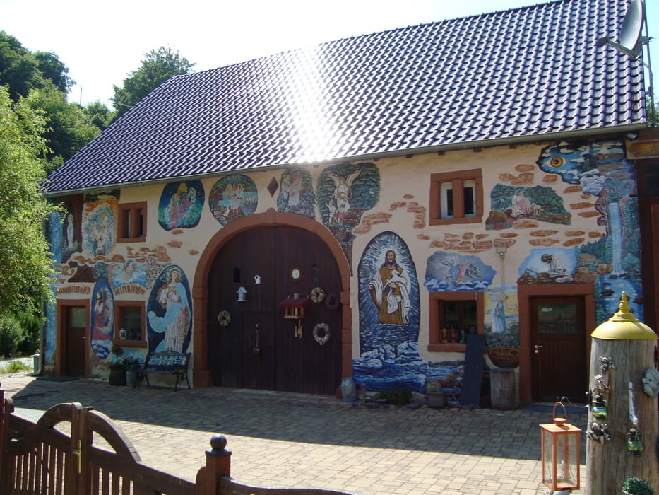
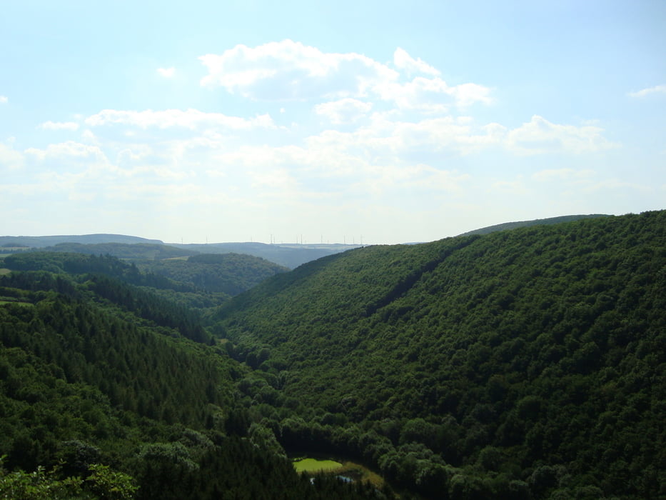
Galerie du tour

Carte du tour et altitude

  • Open Street Map
  • Google
Minimum height 270 m Maximum height 424 m Vue de détail

More about the tour author

ikkel
Member since 2009

Send private message

Commentaires

Stevig schoeisel is een aanrader.

De wandeling is niet geschikt voor rolstoelen en kinderwagens

Tracks GPS

Trackpoints
  • GPX / Garmin Map Source (gpx) download
  • TCX / Garmin Training Center® (tcx) download
  • CRS / Garmin Training Center® (crs) download
  • Google Earth (kml) download
  • G7ToWin (g7t) download
  • TTQV (trk) download
  • Overlay (ovl) download
  • Fugawi (txt) download
  • Kompass (DAV) Track (tk) download
  • Feuille de tours (pdf) download
  • Original file of the author (gpx) download

More about the tour author

ikkel
Member since 2009

Send private message
Share track
Add to my favorites
Remove from my favorites
Edit tags
My score
Rate
Tour: Hunolsteiner klammtour
Cat.: Randonnées
Longueur: 10,6 km
Evaluated on:
Durée:
Day(s)
Hour(s)
Minute(s)
Evaluation: Paysage Aspect amusement Condition Technique