Login

Login oublié ?

Cookies have to be accepted!
Your browser's cookie functionality is disabled. Please enable this functionality.

Not a member yet?

Register now
Login

Available for registred users only

Log in to use this feature.

Login oublié ?

Cookies have to be accepted!
Your browser's cookie functionality is disabled. Please enable this functionality.

Not a member yet?

Register now
Filter
Catégories
Advanced filters
  • Longueur (km)
  • Altimètre
Enregistrer le filtre Reset filter

TrackRank

QRCode

Technical data

Longueur39,2 km Altimètre697 m Way down675 m Durée02:12 h:m Date28.07.2013
Evaluations Author Paysage Aspect amusement Condition Technique

Statistiques

228 Vues Evaluations 39 Téléchargements Moyenne
Rate
  • Feuille de tours
  • Arrivée
  • Téléchargements

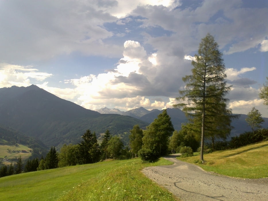
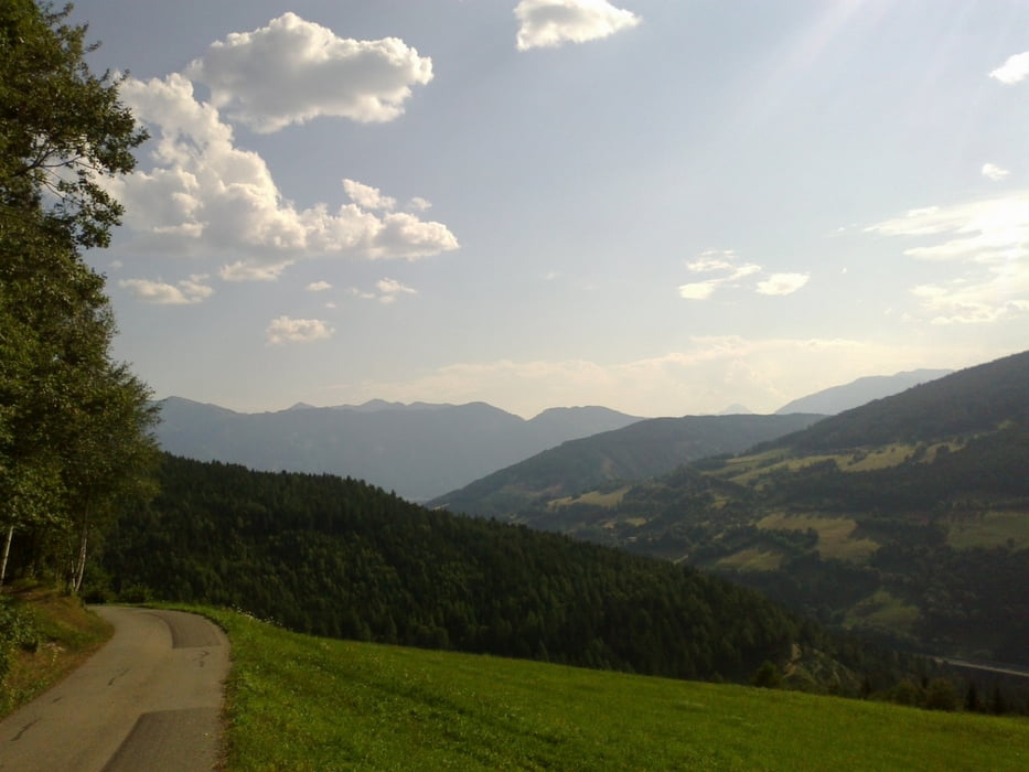
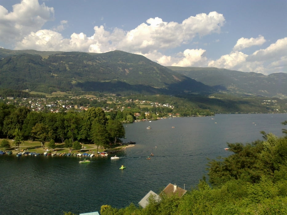
Von Spittal nach Gmünd auf der Straße direkt der Lieser entlang. Retour zunächst über die alte Trefflinger Straße, dann ein kleiner Schlenker nach oben und wieder zurück auf die Trefflinger Straße. Zum Abschluss noch ein paar hm über St. Wolfgang.


Galerie du tour

Carte du tour et altitude

  • Open Street Map
  • Google
Minimum height 561 m Maximum height 1058 m Vue de détail

More about the tour author

mitter
Member since 2008

Send private message

Commentaires

Start in Spittal beim Spital.


Tracks GPS

Trackpoints
  • GPX / Garmin Map Source (gpx) download
  • TCX / Garmin Training Center® (tcx) download
  • CRS / Garmin Training Center® (crs) download
  • Google Earth (kml) download
  • G7ToWin (g7t) download
  • TTQV (trk) download
  • Overlay (ovl) download
  • Fugawi (txt) download
  • Kompass (DAV) Track (tk) download
  • Feuille de tours (pdf) download
  • Original file of the author (gpx) download

More about the tour author

mitter
Member since 2008

Send private message
Share track
Add to my favorites
Remove from my favorites
Edit tags
My score
Rate
Tour: Gmündner Runde
Cat.: Mountainbike
Longueur: 39,2 km
Evaluated on:
Durée:
Day(s)
Hour(s)
Minute(s)
Evaluation: Paysage Aspect amusement Condition Technique