


Start in Plauen
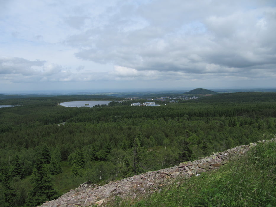
über Schneckenstein im Vogtland geht es auf den Erzgebirgskamm
Mühlleiten, Johanngeorgenstadt, ins tschechische Nachbarland, Horni Blatna, Bozi Dar, Keilberg mit 1244m höchster Berg im Erzgebirge und höchster Punkt der Tour, Medenec, Nova Ves, Deutschneudorf, Mnisek, Nove Mesto, wieder zurück nach Deutschland bei Zinnwald, Kahlberg, Altenberg, Glashütte, Heidenau
Further information at
http://www.bikerevier-erzgebirge.deGalerie du tour


Carte du tour et altitude
Minimum height 121 m
Maximum height 1250 m
More about the tour author
|
|
schwaran |
Commentaires

mit Franken-Sachsen-Express nach Plauen
Abfahrt mit S-Bahn bis Dresdener Hauptbahnhof
Tracks GPS
Trackpoints-
GPX / Garmin Map Source (gpx) download
-
TCX / Garmin Training Center® (tcx) download
-
CRS / Garmin Training Center® (crs) download
-
Google Earth (kml) download
-
G7ToWin (g7t) download
-
TTQV (trk) download
-
Overlay (ovl) download
-
Fugawi (txt) download
-
Kompass (DAV) Track (tk) download
-
Feuille de tours (pdf) download
-
Original file of the author (gpx) download
More about the tour author
|
|
schwaran |
Add to my favorites
Remove from my favorites
Edit tags
Open track
My score
Rate