


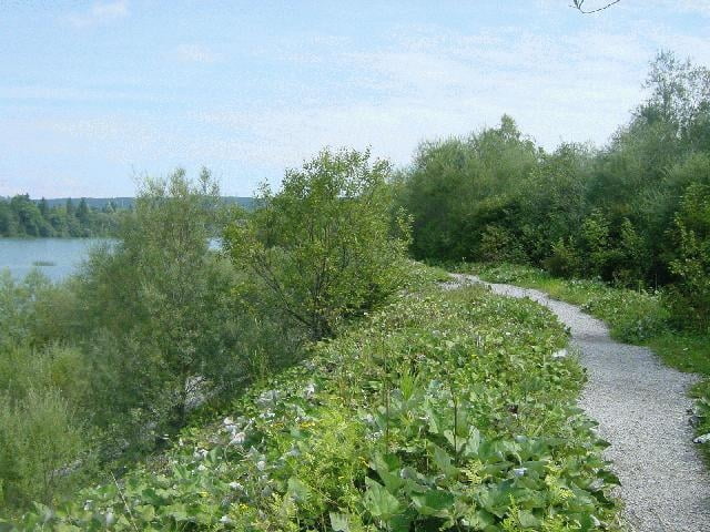
Erst entlang des Isar-Loisach-Kanals führt die kurze Abendrunden-Tour durch die Puplinger Au. Nach dem Gasthof Aumühle folgt ein kurzer aber heftiger Aufstieg Richtung Deining. Auf Schotterwegen durch den Golfplatz Riedhof gehts wieder zurück zum Startpunkt.
Galerie du tour
Carte du tour et altitude
Minimum height 556 m
Maximum height 653 m
More about the tour author

|
CharlieKilo |
Commentaires

Von München kommend, Ausfahrt Wolfratshausen, beim McDonald ins Gewerbegebiet abbiegen. In der Siedlung Farchet startet die Tour an der Turnhalle Ecke Kanalstrasse / Akeleistrasse.
Tracks GPS
Trackpoints-
GPX / Garmin Map Source (gpx) download
-
TCX / Garmin Training Center® (tcx) download
-
CRS / Garmin Training Center® (crs) download
-
Google Earth (kml) download
-
G7ToWin (g7t) download
-
TTQV (trk) download
-
Overlay (ovl) download
-
Fugawi (txt) download
-
Kompass (DAV) Track (tk) download
-
Feuille de tours (pdf) download
-
Original file of the author (g7t) download
More about the tour author
|
|
CharlieKilo |
Add to my favorites
Remove from my favorites
Edit tags
Open track
My score
Rate