


- Rundkurs gegen den Uhrzeigersinn.
- Auf dem Vinschgauer Radweg bis auf die Töll, anschliessend auf wenig befahrener Teerstrasse nach Aschbach(evtl. Seilbahn vorhanden). Den Rest der Strecke auf Schotterweg bis aufs Vigiljoch/Gasthof Seespitz.
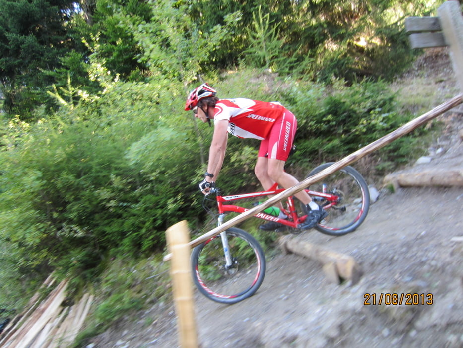
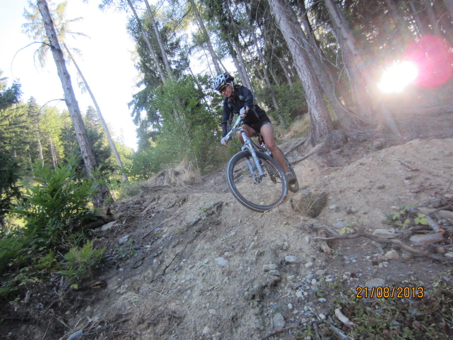
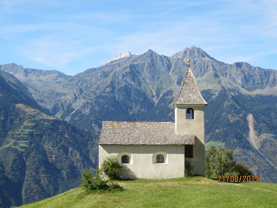
- Abfahrt 1.100 HM Trail, ab 15 Uhr für Biker offen, zum Almboden, am Eggerhof vorbei zum Senn am Egg, dem Kirchlein von St. Felix, oberhalb von Marling, nach Marling, zurück zum Ausgangspunkt.
- Start/Ziel: Marling/Meran, Marlinger Brücke, Parkplatz neben dem Piccolo Hotel.
Galerie du tour

Carte du tour et altitude
Minimum height 225 m
Maximum height 1782 m
More about the tour author
|
|
MargesinFriedrich |
Commentaires

Tracks GPS
Trackpoints-
GPX / Garmin Map Source (gpx) download
-
TCX / Garmin Training Center® (tcx) download
-
CRS / Garmin Training Center® (crs) download
-
Google Earth (kml) download
-
G7ToWin (g7t) download
-
TTQV (trk) download
-
Overlay (ovl) download
-
Fugawi (txt) download
-
Kompass (DAV) Track (tk) download
-
Feuille de tours (pdf) download
-
Original file of the author (gpx) download
More about the tour author
|
|
MargesinFriedrich |
Add to my favorites
Remove from my favorites
Edit tags
Open track
My score
Rate