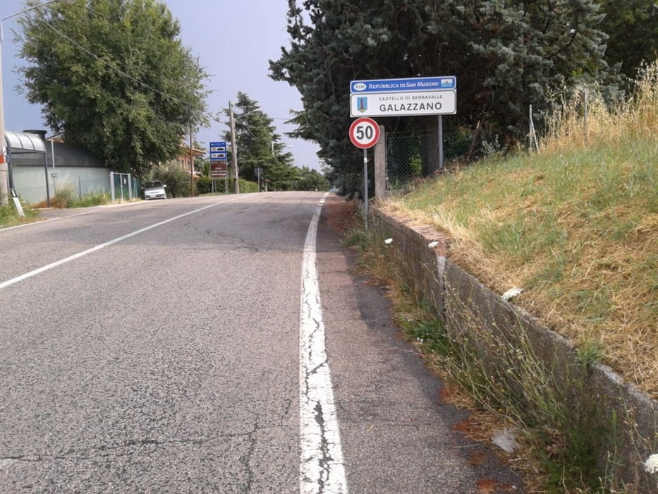
Bellaria - Borgo Nuovo - San Vito - Santarcangelo di Romagna - San Martino dei Mulini - Ca' Tentoni - San Marino - Torello - Ponte Verucchio - Colombare - Santo Marino - Sant'andrea - Case Paglierani - Bellaria
Die Strecke ist zu 95% auf Asphalt. Unterwegs kommen einige Höhenmeter zusammen (siehe Höhenprofile.)
Zurück wieder ans Meer, auch hier unterwegs einige Steigungen. Landschaftlich immer wieder sehr schöne malerische Ausblicke sowohl zurück zum Meer, als auch vom Monte Titano ins weitere Hinterland. Reizvoll auch der Blick vom Meer zum Monte Titano, wie man da immer näher ran kommt, bis man ihn dann besteigen kann.
Unterwegs gibt es in den Ortschaften ab und an die Möglichkeit an Wasserstellen / Brunnen sich mit Wasser zu versorgen. Einkaufsmöglichkeiten sind etwas rar. Allerdings gibt es ab und an eine Tankstelle.
Further information at
http://de.wikipedia.org/wiki/San_MarinoGalerie du tour
Carte du tour et altitude
Commentaires

Start ist in Bellaria. Grundsätzlich könnte man von allen Orten an der Adria zu dieser Tour starten. Parkplätze gibt es ca. 500m vom Meer bzw. inter dem Küstenstreifen reichlich.
Tracks GPS
Trackpoints-
GPX / Garmin Map Source (gpx) download
-
TCX / Garmin Training Center® (tcx) download
-
CRS / Garmin Training Center® (crs) download
-
Google Earth (kml) download
-
G7ToWin (g7t) download
-
TTQV (trk) download
-
Overlay (ovl) download
-
Fugawi (txt) download
-
Kompass (DAV) Track (tk) download
-
Feuille de tours (pdf) download
-
Original file of the author (gpx) download


