


Knackige Runde für Bergfahrer. Auf teils befestigten Güterwegen schnell nach Gallneukirchen, durchs Gusental zum Schloss Riedegg, weiter nach Alberndorf, Roadlberg (785m), Helmetzedterberg (930m), Downhill nach Ottenschlag und hinüber auf den Herndlsberg (801m). Schöne Abfahrt nach Reichenau und wieder hinauf in die Hellmonsödter Forste. Finaler Downhill auf dem klassischen 160er Wanderweg.
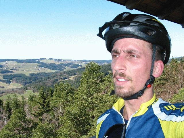
Galerie du tour
Carte du tour et altitude
Minimum height 252 m
Maximum height 930 m
More about the tour author
|
|
rjkas |
Commentaires
Meine Touren starten meistens zuhause in Linz-Katzbach. Siehe Karte oder GPS-Koordinaten.
Tracks GPS
Trackpoints-
GPX / Garmin Map Source (gpx) download
-
TCX / Garmin Training Center® (tcx) download
-
CRS / Garmin Training Center® (crs) download
-
Google Earth (kml) download
-
G7ToWin (g7t) download
-
TTQV (trk) download
-
Overlay (ovl) download
-
Fugawi (txt) download
-
Kompass (DAV) Track (tk) download
-
Feuille de tours (pdf) download
-
Original file of the author (g7t) download
More about the tour author
|
|
rjkas |
Add to my favorites
Remove from my favorites
Edit tags
Open track
My score
Rate
Downhill am Weg 160
Ich und mein Kollege hatten das Glück Dich heute beim Downhill am 160 zu treffen und eine neue sehr interessante Variante mit Dir als Guide kennenzulernen.
Absolut Spitze!!!
schöne Grüsse,
Harald
(http://harald.8k.com)