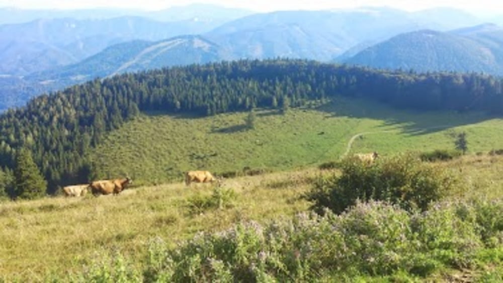
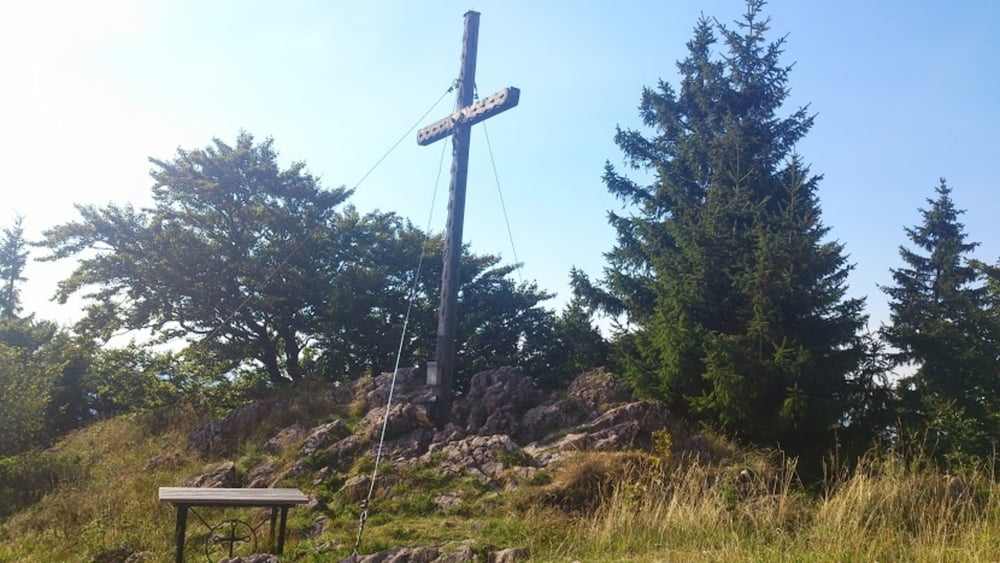
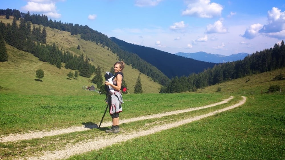
Einfacher Zustieg zur Julius Seitner Hütte über Feldweg, Wanderweg und letztes Stück direkt an den Kühen auf der Wiese vorbei
Wichtig: GPS Aufzeichnung nur Abstieg vom Gipfelkreuz bzw. der Julius Seitner Hütte, die sich direkt daneben befindet zum Ortbauer! Aufstieg ist aber der gleiche Weg!!!
Galerie du tour
Carte du tour et altitude
Minimum height 686 m
Maximum height 1184 m
Commentaires

auserhalb von Türnitz beim Knedelhof abbiegen, Parkplatz beim Ortbauer (alles beschildert)
Tracks GPS
Trackpoints-
GPX / Garmin Map Source (gpx) download
-
TCX / Garmin Training Center® (tcx) download
-
CRS / Garmin Training Center® (crs) download
-
Google Earth (kml) download
-
G7ToWin (g7t) download
-
TTQV (trk) download
-
Overlay (ovl) download
-
Fugawi (txt) download
-
Kompass (DAV) Track (tk) download
-
Feuille de tours (pdf) download
-
Original file of the author (gpx) download
Add to my favorites
Remove from my favorites
Edit tags
Open track
My score
Rate


