Login

Login oublié ?

Cookies have to be accepted!
Your browser's cookie functionality is disabled. Please enable this functionality.

Not a member yet?

Register now
Login

Available for registred users only

Log in to use this feature.

Login oublié ?

Cookies have to be accepted!
Your browser's cookie functionality is disabled. Please enable this functionality.

Not a member yet?

Register now
Filter
Catégories
Advanced filters
  • Longueur (km)
  • Altimètre
Enregistrer le filtre Reset filter

TrackRank

QRCode

Technical data

Longueur9,6 km Altimètre231 m Way down211 m Durée00:00 h:m Date08.09.2013
Evaluations Author Paysage Aspect amusement Condition Technique

Statistiques

332 Vues Evaluations 77 Téléchargements Moyenne
Rate
  • Feuille de tours
  • Arrivée
  • Téléchargements
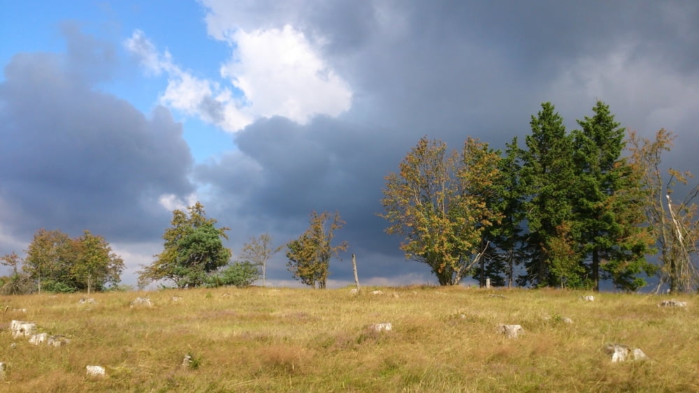
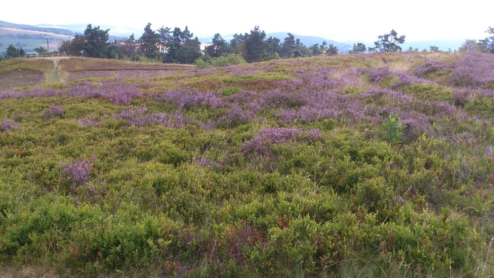
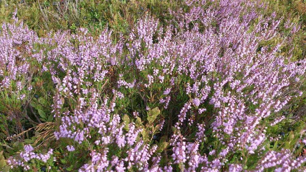
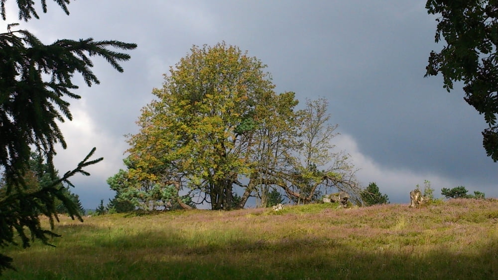
Wunderschöne Wanderung auf Kahle Pön und weiter zur Diemelquelle und nochmals über Kahle Pön zurück.

Galerie du tour

Carte du tour et altitude

  • Open Street Map
  • Google
Minimum height 649 m Maximum height 776 m Vue de détail

More about the tour author

Seba28
Member since 2013

Send private message

Commentaires

Parkplatz oberhalb des Ortes Düdinghausen erspart einige Höhenmeter Aufstieg.

Allerdings ist der Aufstieg über den Hohlweg auch sehr schön.

Tracks GPS

Trackpoints
  • GPX / Garmin Map Source (gpx) download
  • TCX / Garmin Training Center® (tcx) download
  • CRS / Garmin Training Center® (crs) download
  • Google Earth (kml) download
  • G7ToWin (g7t) download
  • TTQV (trk) download
  • Overlay (ovl) download
  • Fugawi (txt) download
  • Kompass (DAV) Track (tk) download
  • Feuille de tours (pdf) download
  • Original file of the author (gpx) download

More about the tour author

Seba28
Member since 2013

Send private message
Share track
Add to my favorites
Remove from my favorites
Edit tags
My score
Rate
Tour: Kahle Pön
Cat.: Randonnées
Longueur: 9,6 km
Evaluated on:
Durée:
Day(s)
Hour(s)
Minute(s)
Evaluation: Paysage Aspect amusement Condition Technique