


Gestartet bin ich Ortsausgang Grän beim Gästehaus Braito http://www.braito-anton.de/.
200m entfernt ist der große Parkplatz am Gemeindezentrum von Grän wo jeder sehr gut parken kann.
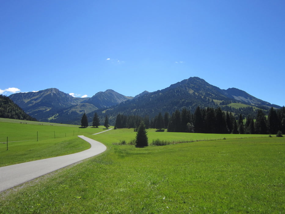
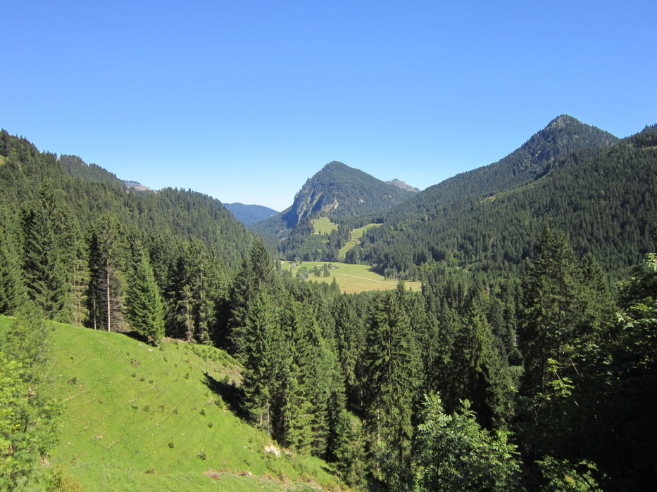
Von dort quer durch das Tannheimer Tal auf dem ausgeschilderten Radweg über die Ortschaften Berg, Zöglen, Fricken und Kappl. Dan auf den Radweg Schattwald abbiegen und der sich an der Kläranlage rechts halten. Dann immer der auf dem Weg bis zum Gasthaus Rehbach halten. Dort hat man einen super Blick hinunter in das Vilstal .
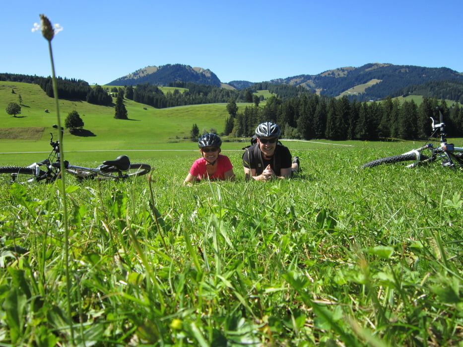
Den Rückweg kann man eigentlich mache wie man will. Wir sind über Schattwald nach Tannheim gefahren. Zu empfehlen ist dort ein frisches Limettenbier im Höfbrauhaus.
Ein weiter Tipp ist ein Einkehrschwung zwischen Tannheim und Berg beim "Öfner" an der kleinen Kapelle bei Innergschwend.
Der Strecke ist nicht anstrengend, man hat aber die ganze Zeit einen wunderschönen Blick über die Wiesen und das Tal.
Galerie du tour

Carte du tour et altitude
Minimum height 1060 m
Maximum height 1133 m
More about the tour author
|
|
tomrembo |
Commentaires

Tracks GPS
Trackpoints-
GPX / Garmin Map Source (gpx) download
-
TCX / Garmin Training Center® (tcx) download
-
CRS / Garmin Training Center® (crs) download
-
Google Earth (kml) download
-
G7ToWin (g7t) download
-
TTQV (trk) download
-
Overlay (ovl) download
-
Fugawi (txt) download
-
Kompass (DAV) Track (tk) download
-
Feuille de tours (pdf) download
-
Original file of the author (gpx) download
More about the tour author
|
|
tomrembo |
Add to my favorites
Remove from my favorites
Edit tags
Open track
My score
Rate