


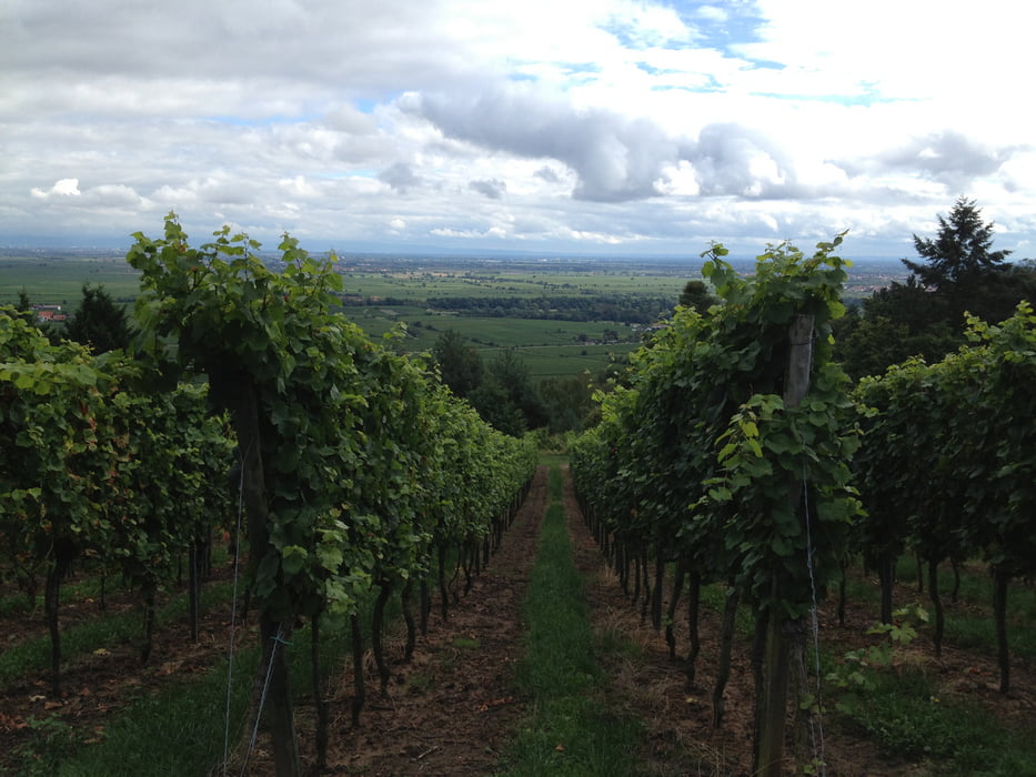
Leichte Wanderung durch die Weinberge zwischen Deidesheim und Wachenheim.
Die Wanderung beginnt in Deidesheim am gotischen "Bildstock am Grain". Von dort steigt man zur Sankt Michaelskapelle auf und dann weiter zu den Heidenlöchern, eine normannische Fluchtburg. Dach steigt man zur Wachenheimer Burg ab, wo man sich in der Burgschänke eine deftige pfälzer Brotzeit genehmigen kann. Anschließend geht es über die Weinberge wieder zurück zum Ausgangspunkt in Deidesheim.
Galerie du tour


Carte du tour et altitude
Minimum height 118 m
Maximum height 390 m
More about the tour author

|
thmayr |
Commentaires

Tracks GPS
Trackpoints-
GPX / Garmin Map Source (gpx) download
-
TCX / Garmin Training Center® (tcx) download
-
CRS / Garmin Training Center® (crs) download
-
Google Earth (kml) download
-
G7ToWin (g7t) download
-
TTQV (trk) download
-
Overlay (ovl) download
-
Fugawi (txt) download
-
Kompass (DAV) Track (tk) download
-
Feuille de tours (pdf) download
-
Original file of the author (gpx) download
More about the tour author
|
|
thmayr |
Add to my favorites
Remove from my favorites
Edit tags
Open track
My score
Rate