


Bischofsfellnalm:
Kurzer aber ab der 2ten hälfte sehr knackiger Almtrip.
Los geht's wieder mal in Urschlau Wanderparkplatz.
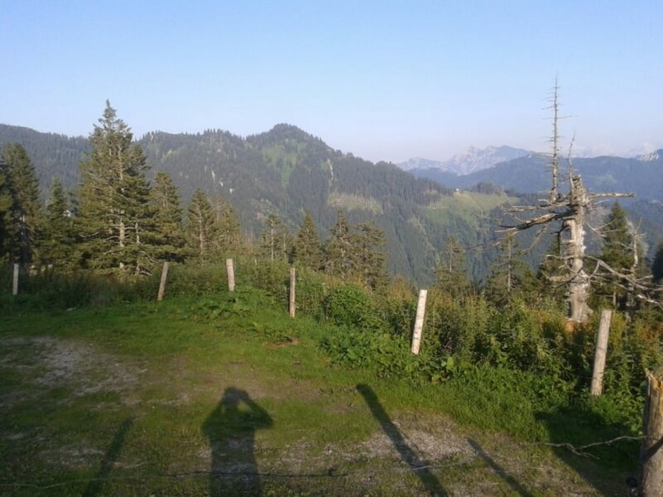
Vor allem ab der Eschelmoosdiensthütte sehr steil und schwieriges Terrrain. Grobsteinig und schieben von Teilstücken fast nicht zu vermeiden. Sehr schönes Almplateau.
Further information at
http://www.chiemgau-tourismus.de/Galerie du tour


Carte du tour et altitude
Minimum height 739 m
Maximum height 1398 m
More about the tour author
|
|
Draven |
Commentaires

Von München A8 Richtung Salzburg
Ausfahrt Traunstein Siegsdorf
Beschilderung nach Ruhpolding folgen.
Von Ruhpolding der Beschilderung Freizeitpark folgend dann
über Vorderbrand und Brand nach Urschlau.
Startpunkt Wanderparkplatz Urschlau
Tracks GPS
Trackpoints-
GPX / Garmin Map Source (gpx) download
-
TCX / Garmin Training Center® (tcx) download
-
CRS / Garmin Training Center® (crs) download
-
Google Earth (kml) download
-
G7ToWin (g7t) download
-
TTQV (trk) download
-
Overlay (ovl) download
-
Fugawi (txt) download
-
Kompass (DAV) Track (tk) download
-
Feuille de tours (pdf) download
-
Original file of the author (gpx) download
More about the tour author
|
|
Draven |
Add to my favorites
Remove from my favorites
Edit tags
Open track
My score
Rate