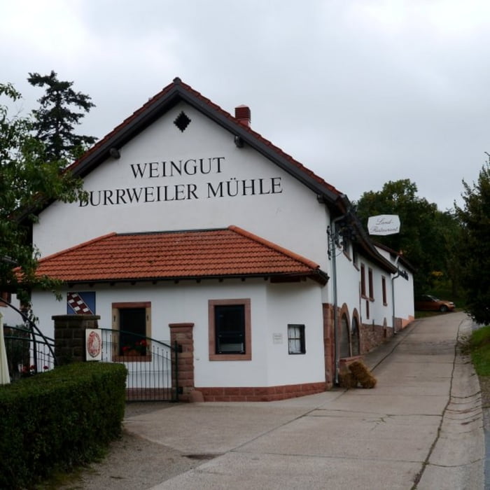
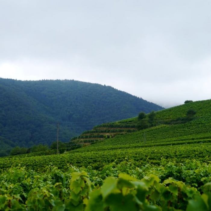
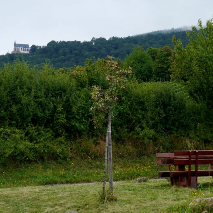
Dies ist eine gemütliche Tour in den Weinbergen bei Hainfeld. Auf gut ausgebauten Weg geht es durch die Weinberge die gerade im Herbst vor der Lese sehr ansehnlich sind. Wer gerne einen kleine Zwischenstopp einlegen möchte der kann entweder an einem Picknickplatz oder an einem Weingut rasten.
Galerie du tour
Carte du tour et altitude
Minimum height 166 m
Maximum height 241 m
Commentaires

Tracks GPS
Trackpoints-
GPX / Garmin Map Source (gpx) download
-
TCX / Garmin Training Center® (tcx) download
-
CRS / Garmin Training Center® (crs) download
-
Google Earth (kml) download
-
G7ToWin (g7t) download
-
TTQV (trk) download
-
Overlay (ovl) download
-
Fugawi (txt) download
-
Kompass (DAV) Track (tk) download
-
Feuille de tours (pdf) download
-
Original file of the author (gpx) download
Add to my favorites
Remove from my favorites
Edit tags
Open track
My score
Rate


