
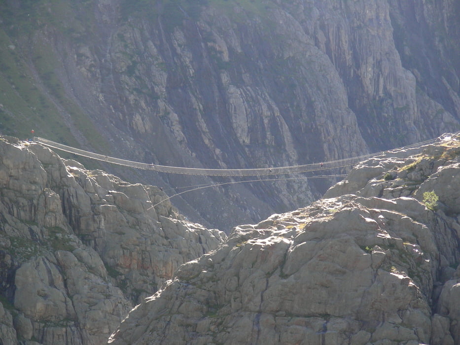

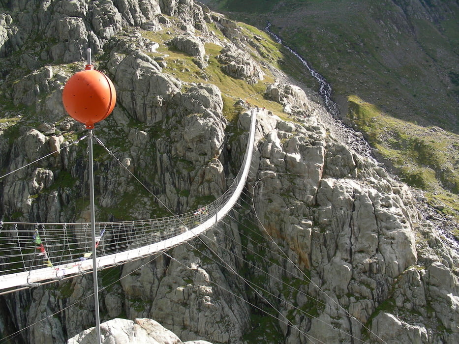
Bellissimo itinerario
la salita a piedi lungo in canion merita di essere eseguita, salita costante che non richiede un grosso impegno fisico.
La salita al Windegghutten è consigliata dal ponte in modo da tornare al bivio in quanto si svolge su via attrezzata da catene, eseguita al contrario potrebbe risultare impegnativa.
Per tornare al parcheggio preferibile l'utilizzo della funivia dato il panorama che si gode passando nel canion, la tratta del solo ritorno si paga alla stazione di partenza al parcheggio.
Galerie du tour


Carte du tour et altitude
Minimum height 915 m
Maximum height 1902 m
More about the tour author
|
|
Da0001 |
Commentaires

Tracks GPS
Trackpoints-
GPX / Garmin Map Source (gpx) download
-
TCX / Garmin Training Center® (tcx) download
-
CRS / Garmin Training Center® (crs) download
-
Google Earth (kml) download
-
G7ToWin (g7t) download
-
TTQV (trk) download
-
Overlay (ovl) download
-
Fugawi (txt) download
-
Kompass (DAV) Track (tk) download
-
Feuille de tours (pdf) download
-
Original file of the author (gpx) download
More about the tour author
|
|
Da0001 |
Add to my favorites
Remove from my favorites
Edit tags
Open track
My score
Rate