Login

Login oublié ?

Cookies have to be accepted!
Your browser's cookie functionality is disabled. Please enable this functionality.

Not a member yet?

Register now
Login

Available for registred users only

Log in to use this feature.

Login oublié ?

Cookies have to be accepted!
Your browser's cookie functionality is disabled. Please enable this functionality.

Not a member yet?

Register now
Filter
Catégories
Advanced filters
  • Longueur (km)
  • Altimètre
Enregistrer le filtre Reset filter

TrackRank

QRCode

Technical data

Longueur4,5 km Altimètre0 m Way down634 m Durée01:30 h:m Date11.12.2007
Evaluations Author Paysage Aspect amusement Condition Technique

Statistiques

10726 Vues Evaluations 275 Téléchargements Moyenne
Rate
  • Feuille de tours
  • Arrivée
  • Téléchargements
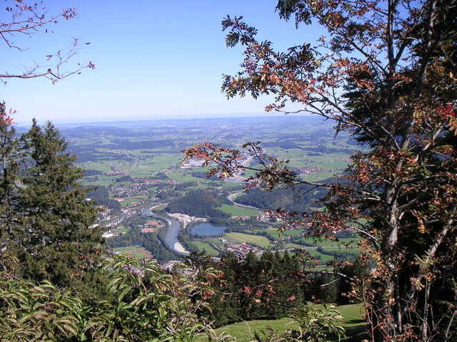
Vom Parklplatz rechts vorbei an der Mittag-Talstation. Nach ein paar hundert Metern links ab in den Wald den Berg hoch. Danach über die Almwiese zu geteerten Forstweg. Diesen bis zur Gipfelstation folgen. Dort gibt es einen herrlichen Blick und einen Gipfelbiergarten. Es gibt genügend Einkehrmöglichkeiten unterwegs.

Galerie du tour

Carte du tour et altitude

  • Open Street Map
  • Google
Minimum height 761 m Maximum height 1416 m Vue de détail

More about the tour author

gusimosa
Member since 2007

Send private message

Commentaires

Von Kempten Richtung Immenstadt. Dort der Beschilderung zur Mittag-Bergbahn folgen.

Tracks GPS

Trackpoints
  • GPX / Garmin Map Source (gpx) download
  • TCX / Garmin Training Center® (tcx) download
  • CRS / Garmin Training Center® (crs) download
  • Google Earth (kml) download
  • G7ToWin (g7t) download
  • TTQV (trk) download
  • Overlay (ovl) download
  • Fugawi (txt) download
  • Kompass (DAV) Track (tk) download
  • Feuille de tours (pdf) download
  • Original file of the author (gpx) download

More about the tour author

gusimosa
Member since 2007

Send private message
Share track
Add to my favorites
Remove from my favorites
Edit tags
My score
Rate
Tour: Von Immenstadt auf den Mittag
Cat.: Randonnées
Longueur: 4,5 km
Evaluated on:
Durée:
Day(s)
Hour(s)
Minute(s)
Evaluation: Paysage Aspect amusement Condition Technique