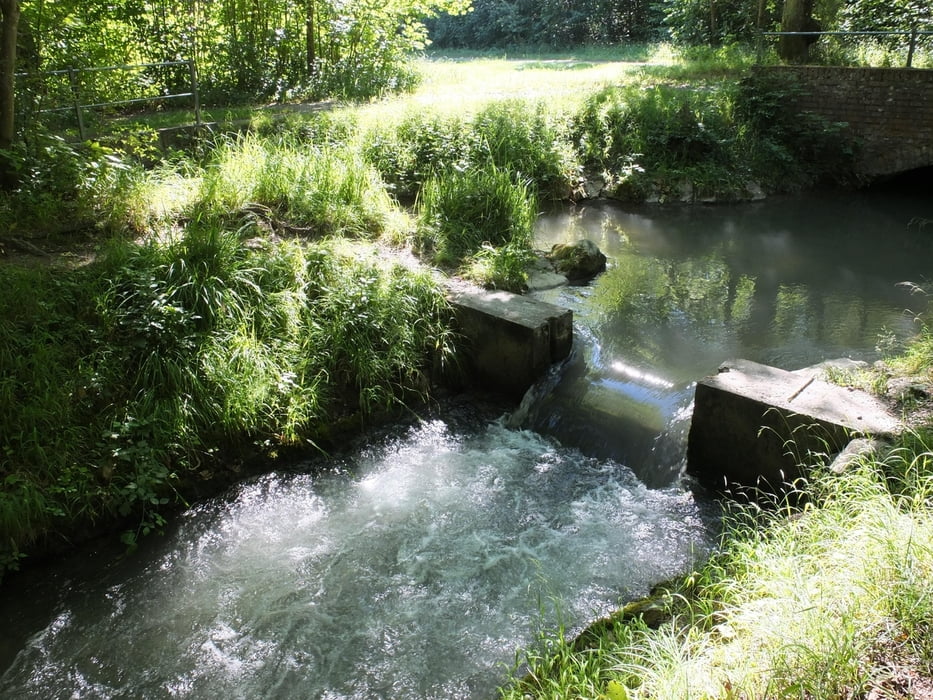
Die Neun-Bäche-Tour im Augsburger Stadtwald führt nicht nur zu kleinen Flussläufen. Der Landschaftspflegeverband zeigt besondere Pflanzen und Tiere. Kinder können mit dem Sieb auf Entdeckungstour gehen.
Galerie du tour
Carte du tour et altitude
Minimum height 487 m
Maximum height 505 m
Commentaires

Ausgangs- und Endpunkt ist der Parkplatz an der Sportanlage Süd. Mit der Straßenbahn führt man bis zur Haltestelle Siemens.
Tracks GPS
Trackpoints-
GPX / Garmin Map Source (gpx) download
-
TCX / Garmin Training Center® (tcx) download
-
CRS / Garmin Training Center® (crs) download
-
Google Earth (kml) download
-
G7ToWin (g7t) download
-
TTQV (trk) download
-
Overlay (ovl) download
-
Fugawi (txt) download
-
Kompass (DAV) Track (tk) download
-
Feuille de tours (pdf) download
-
Original file of the author (gpx) download
Add to my favorites
Remove from my favorites
Edit tags
Open track
My score
Rate


