21.9.2013
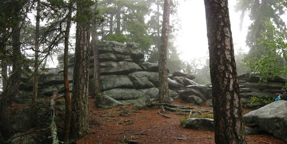
Prišli sme (s Romanom) na sychravú Vysočinu. Tak sme biky nechali na chate a išli pešo. Ráno 8°C, poobede sa oteplilo na 12 :-) Do toho striedavo popŕchalo, pršalo. Ale les bol príjemný, v takomto počasí sa dobre turistikuje.
Galerie du tour
Carte du tour et altitude
Minimum height 503 m
Maximum height 751 m
Commentaires

Milovy
Tracks GPS
Trackpoints-
GPX / Garmin Map Source (gpx) download
-
TCX / Garmin Training Center® (tcx) download
-
CRS / Garmin Training Center® (crs) download
-
Google Earth (kml) download
-
G7ToWin (g7t) download
-
TTQV (trk) download
-
Overlay (ovl) download
-
Fugawi (txt) download
-
Kompass (DAV) Track (tk) download
-
Feuille de tours (pdf) download
-
Original file of the author (gpx) download
Add to my favorites
Remove from my favorites
Edit tags
Open track
My score
Rate


