
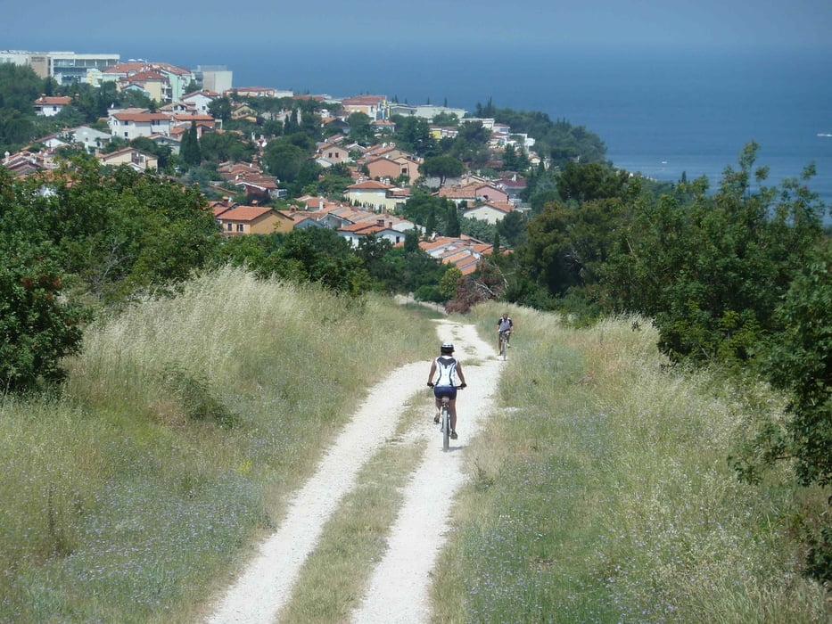

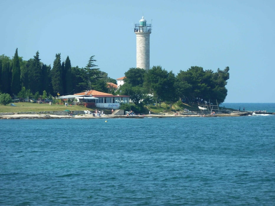
Vom Leuchtturm Savutrija gehts durch den Campingplatz in nördlicher Richtung.
Fahrt über kleine Wege und Straßen sowie auf einer alten Eisenbahntrasse bis zur slowenischen Grenze. Schöne Blicke über die Salzlagune.
Die Strecke ist auch mit Tourenrädern befahrbar.
Galerie du tour


Carte du tour et altitude
Minimum height -71 m
Maximum height 90 m
More about the tour author

|
regazug |
Commentaires

Tracks GPS
Trackpoints-
GPX / Garmin Map Source (gpx) download
-
TCX / Garmin Training Center® (tcx) download
-
CRS / Garmin Training Center® (crs) download
-
Google Earth (kml) download
-
G7ToWin (g7t) download
-
TTQV (trk) download
-
Overlay (ovl) download
-
Fugawi (txt) download
-
Kompass (DAV) Track (tk) download
-
Feuille de tours (pdf) download
-
Original file of the author (gpx) download
More about the tour author
|
|
regazug |
Add to my favorites
Remove from my favorites
Edit tags
Open track
My score
Rate