Login

Login oublié ?

Cookies have to be accepted!
Your browser's cookie functionality is disabled. Please enable this functionality.

Not a member yet?

Register now
Login

Available for registred users only

Log in to use this feature.

Login oublié ?

Cookies have to be accepted!
Your browser's cookie functionality is disabled. Please enable this functionality.

Not a member yet?

Register now
Filter
Catégories
Advanced filters
  • Longueur (km)
  • Altimètre
Enregistrer le filtre Reset filter

TrackRank

QRCode

Technical data

Longueur18,2 km Altimètre342 m Way down342 m Durée01:17 h:m Date18.10.2013
Evaluations Author Paysage Aspect amusement Condition Technique

Statistiques

217 Vues Evaluations 22 Téléchargements Moyenne
Rate
  • Feuille de tours
  • Arrivée
  • Téléchargements
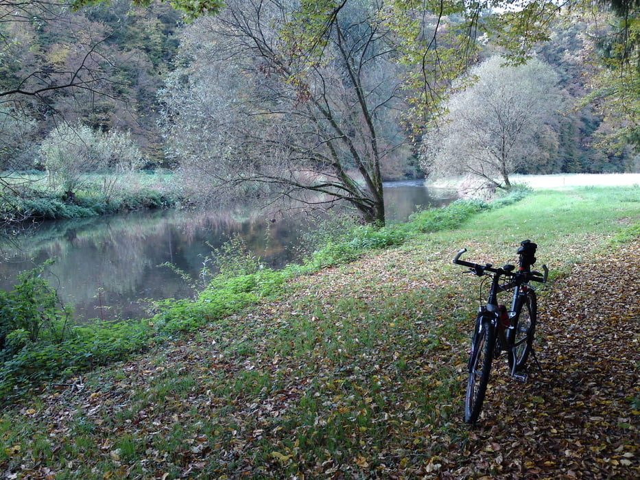
Kleine, aber nette Tour an die Nister. Abfahrt in Hamm Ortsmitte. Über Roth und Hohensayn an die Nister. Über Thal, Langenbach nach Helmeroth. Dort nicht die Steigung nach Eng hinauf sonder kurz vorher rechts abbiegen und dem Weg bis zur Hängebrücke folgen. Die Nister überqueren und an Flögert vorbei nach Bruchertseifen. Dort am Ortseingang links abbiegen und durch das Seelbacher Tal zurück nach Hamm.

Galerie du tour

Carte du tour et altitude

  • Open Street Map
  • Google
Minimum height 146 m Maximum height 299 m Vue de détail

More about the tour author

hajorenner
Member since 2004

Send private message

Commentaires

Tracks GPS

Trackpoints
  • GPX / Garmin Map Source (gpx) download
  • TCX / Garmin Training Center® (tcx) download
  • CRS / Garmin Training Center® (crs) download
  • Google Earth (kml) download
  • G7ToWin (g7t) download
  • TTQV (trk) download
  • Overlay (ovl) download
  • Fugawi (txt) download
  • Kompass (DAV) Track (tk) download
  • Feuille de tours (pdf) download
  • Original file of the author (gpx) download

More about the tour author

hajorenner
Member since 2004

Send private message
Share track
Add to my favorites
Remove from my favorites
Edit tags
My score
Rate
Tour: Kleine Herbsttour an die Nister
Cat.: Mountainbike
Longueur: 18,2 km
Evaluated on:
Durée:
Day(s)
Hour(s)
Minute(s)
Evaluation: Paysage Aspect amusement Condition Technique