Login

Login oublié ?

Cookies have to be accepted!
Your browser's cookie functionality is disabled. Please enable this functionality.

Not a member yet?

Register now
Login

Available for registred users only

Log in to use this feature.

Login oublié ?

Cookies have to be accepted!
Your browser's cookie functionality is disabled. Please enable this functionality.

Not a member yet?

Register now
Filter
Catégories
Advanced filters
  • Longueur (km)
  • Altimètre
Enregistrer le filtre Reset filter

TrackRank

QRCode

Technical data

Longueur25,9 km Altimètre806 m Way down760 m Durée02:00 h:m Date21.10.2013
Evaluations Author Paysage Aspect amusement Condition Technique

Statistiques

480 Vues Evaluations 204 Téléchargements Moyenne
Rate
  • Feuille de tours
  • Arrivée
  • Téléchargements

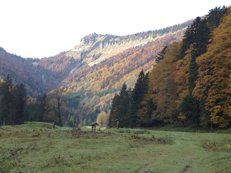
Gute Trainingseinheit, auf Schotter auf über 1200hm (Start bei 525 hm), leider kein Trail. Kurze Stopps sind schon wegen der schönen Aussicht und der vielen Wasserfälle Pflicht!

Viel Spaß!

Galerie du tour

Carte du tour et altitude

  • Open Street Map
  • Google
Minimum height 518 m Maximum height 1217 m Vue de détail

More about the tour author

berndhuber
Member since 2008

Send private message

Commentaires

Salzburg > B158


Tracks GPS

Trackpoints
  • GPX / Garmin Map Source (gpx) download
  • TCX / Garmin Training Center® (tcx) download
  • CRS / Garmin Training Center® (crs) download
  • Google Earth (kml) download
  • G7ToWin (g7t) download
  • TTQV (trk) download
  • Overlay (ovl) download
  • Fugawi (txt) download
  • Kompass (DAV) Track (tk) download
  • Feuille de tours (pdf) download
  • Original file of the author (gpx) download

More about the tour author

berndhuber
Member since 2008

Send private message
Share track
Add to my favorites
Remove from my favorites
Edit tags
My score
Rate
Tour: durch den Königsbergwald
Cat.: Mountainbike
Longueur: 25,9 km
Evaluated on:
Durée:
Day(s)
Hour(s)
Minute(s)
Evaluation: Paysage Aspect amusement Condition Technique