Login

Login oublié ?

Cookies have to be accepted!
Your browser's cookie functionality is disabled. Please enable this functionality.

Not a member yet?

Register now
Login

Available for registred users only

Log in to use this feature.

Login oublié ?

Cookies have to be accepted!
Your browser's cookie functionality is disabled. Please enable this functionality.

Not a member yet?

Register now
Filter
Catégories
Advanced filters
  • Longueur (km)
  • Altimètre
Enregistrer le filtre Reset filter

TrackRank

QRCode

Technical data

Longueur41,2 km Altimètre1985 m Way down1033 m Durée05:16 h:m Date14.11.2013
Evaluations Author Paysage Aspect amusement Condition Technique

Statistiques

295 Vues Evaluations 61 Téléchargements Moyenne
Rate
  • Feuille de tours
  • Arrivée
  • Téléchargements

Reminiszenzen

Eppan-Mendelpass-Penegal-Gantkofel-M.di Fondo-
Felixer Weiher-Zur lieben Frau im Walde

Mendelpassstraße mit gefühlten 100ten Organspendern nicht so angenehm.
Ab dem Penegal teils sehr lässige singletrails, tw. auch zu schieben.
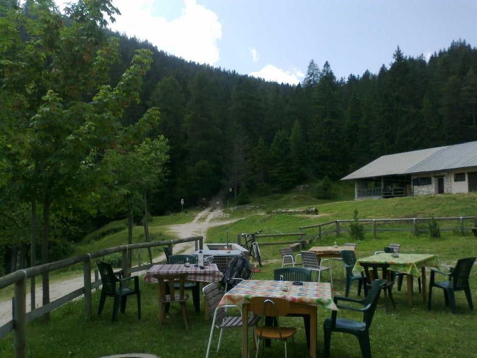
Abfahrt auf Schotterweg ok. Gh Zur Sonne sehr zu empfehlen! 47 € HP, super Essen, Wäsche gewaschen!


Galerie du tour

Carte du tour et altitude

  • Open Street Map
  • Google
Minimum height 408 m Maximum height 1829 m Vue de détail

More about the tour author

mitter
Member since 2008

Send private message

Commentaires

Start in Eppan (Eppaner Hof).


Tracks GPS

Trackpoints
  • GPX / Garmin Map Source (gpx) download
  • TCX / Garmin Training Center® (tcx) download
  • CRS / Garmin Training Center® (crs) download
  • Google Earth (kml) download
  • G7ToWin (g7t) download
  • TTQV (trk) download
  • Overlay (ovl) download
  • Fugawi (txt) download
  • Kompass (DAV) Track (tk) download
  • Feuille de tours (pdf) download
  • Original file of the author (gpx) download

More about the tour author

mitter
Member since 2008

Send private message
Share track
Add to my favorites
Remove from my favorites
Edit tags
My score
Rate
Tour: Eppan-Zur lieben Frau im Walde (8. Etappe Ost-West 2013)
Cat.: Mountainbike
Longueur: 41,2 km
Evaluated on:
Durée:
Day(s)
Hour(s)
Minute(s)
Evaluation: Paysage Aspect amusement Condition Technique