Login

Login oublié ?

Cookies have to be accepted!
Your browser's cookie functionality is disabled. Please enable this functionality.

Not a member yet?

Register now
Login

Available for registred users only

Log in to use this feature.

Login oublié ?

Cookies have to be accepted!
Your browser's cookie functionality is disabled. Please enable this functionality.

Not a member yet?

Register now
Filter
Catégories
Advanced filters
  • Longueur (km)
  • Altimètre
Enregistrer le filtre Reset filter

TrackRank

QRCode

Technical data

Longueur142,3 km Altimètre340 m Way down331 m Durée07:40 h:m Date25.12.2007
Evaluations Author Paysage Aspect amusement Condition Technique

Statistiques

270 Vues Evaluations 20 Téléchargements Moyenne
Rate
  • Feuille de tours
  • Arrivée
  • Téléchargements
3.9.2007

Galerie du tour

Carte du tour et altitude

  • Open Street Map
  • Google
Minimum height 111 m Maximum height 211 m Vue de détail

More about the tour author

tmax
Member since 2007

Send private message

Commentaires

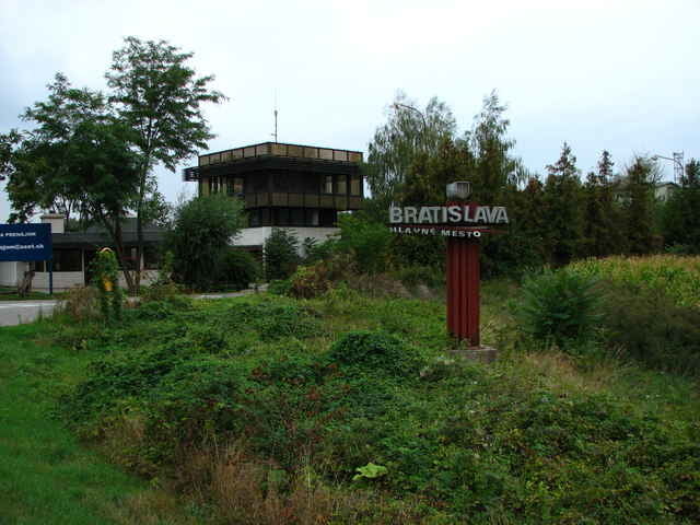
Levice - Kalná nad Hronom - Lok - Horný Pial - Beša - Pozba - Podhájska - Radava - Dolný Ohaj - Šurany - Čiky - Tvrdošovce - Jatov - Trnovec nad Váhom - Šaľa - Kráľová nad Váhom - Galanta - Sládkovičovo - Lúčny Dvor - Senec - Veľký Biel - Bernolákovo - Bratislava

Tracks GPS

Trackpoints
  • GPX / Garmin Map Source (gpx) download
  • TCX / Garmin Training Center® (tcx) download
  • CRS / Garmin Training Center® (crs) download
  • Google Earth (kml) download
  • G7ToWin (g7t) download
  • TTQV (trk) download
  • Overlay (ovl) download
  • Fugawi (txt) download
  • Kompass (DAV) Track (tk) download
  • Feuille de tours (pdf) download

More about the tour author

tmax
Member since 2007

Send private message
Share track
Add to my favorites
Remove from my favorites
Edit tags
My score
Rate
Tour: 20070903_Cyklotour 2007_11.deň - Cez Šaľu a Galantu domov
Cat.: Mountainbike
Longueur: 142,3 km
Evaluated on:
Durée:
Day(s)
Hour(s)
Minute(s)
Evaluation: Paysage Aspect amusement Condition Technique