Login

Login oublié ?

Cookies have to be accepted!
Your browser's cookie functionality is disabled. Please enable this functionality.

Not a member yet?

Register now
Login

Available for registred users only

Log in to use this feature.

Login oublié ?

Cookies have to be accepted!
Your browser's cookie functionality is disabled. Please enable this functionality.

Not a member yet?

Register now
Filter
Catégories
Advanced filters
  • Longueur (km)
  • Altimètre
Enregistrer le filtre Reset filter

TrackRank

QRCode

Technical data

Longueur8,8 km Altimètre343 m Way down224 m Durée00:00 h:m Date14.12.2013
Evaluations Author Paysage Aspect amusement Condition Technique

Statistiques

2785 Vues Evaluations 43 Téléchargements Moyenne
Rate
  • Feuille de tours
  • Arrivée
  • Téléchargements

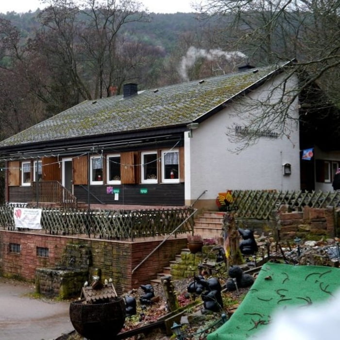
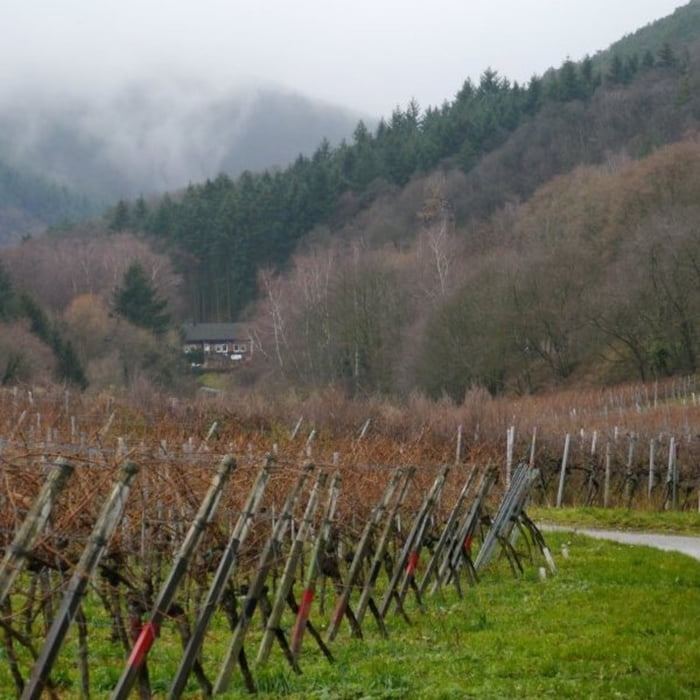
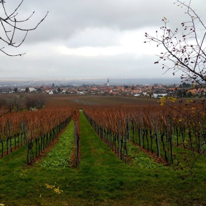
Startpunkt der Tour ist ein Parkplatz in Nähe von Maikammer. Auf gut ausgebauten Wegen führt die Stecke ohne nennenswerte Anstiege durch die Weinberge bis nach Diedesfeld. Von dort geht es entlang der Schlossgasse leicht ansteigend hoch zur K9 und darauf weiter im Halbkreis um das Hambacher Schloss. Auf einem relativ ebenen Forstwirtschaftsweg führt die Tour vorbei am Zeter Berghaus zur Klausentalhütte und wieder zurück zum Parkplatz.


Galerie du tour

Carte du tour et altitude

  • Open Street Map
  • Google
Minimum height 122 m Maximum height 348 m Vue de détail

More about the tour author

isg13
Member since 2010

Send private message

Commentaires

Tracks GPS

Trackpoints
  • GPX / Garmin Map Source (gpx) download
  • TCX / Garmin Training Center® (tcx) download
  • CRS / Garmin Training Center® (crs) download
  • Google Earth (kml) download
  • G7ToWin (g7t) download
  • TTQV (trk) download
  • Overlay (ovl) download
  • Fugawi (txt) download
  • Kompass (DAV) Track (tk) download
  • Feuille de tours (pdf) download
  • Original file of the author (gpx) download

More about the tour author

isg13
Member since 2010

Send private message
Share track
Add to my favorites
Remove from my favorites
Edit tags
My score
Rate
Tour: Pfälzer Rundwanderung mit Einkehr - Klausentalhütte
Cat.: Randonnées
Longueur: 8,8 km
Evaluated on:
Durée:
Day(s)
Hour(s)
Minute(s)
Evaluation: Paysage Aspect amusement Condition Technique