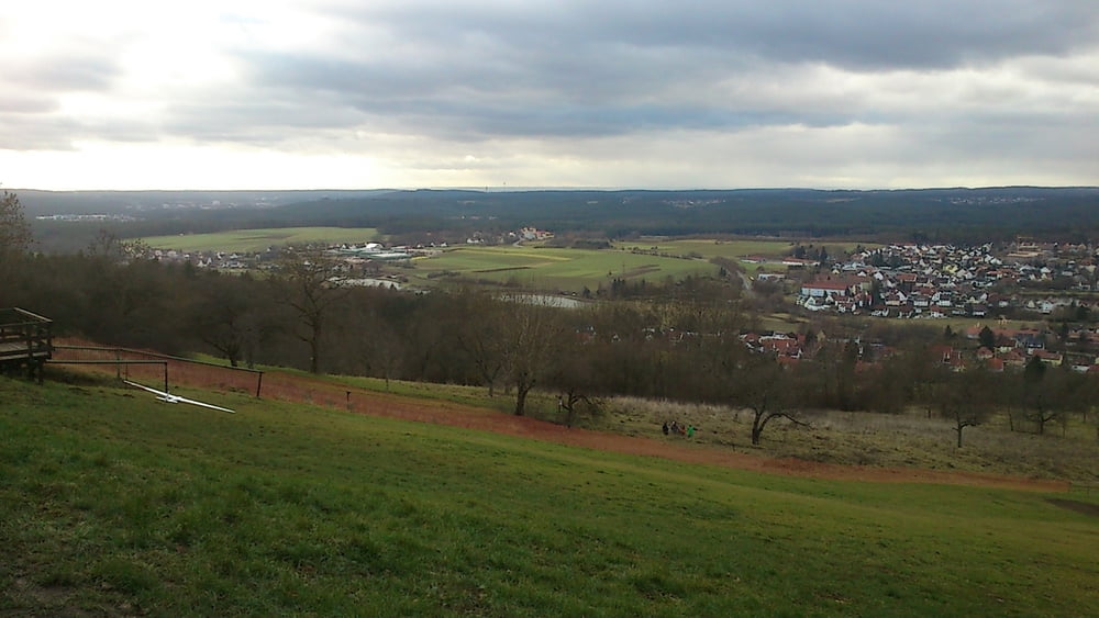
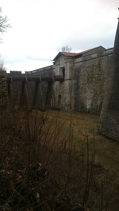
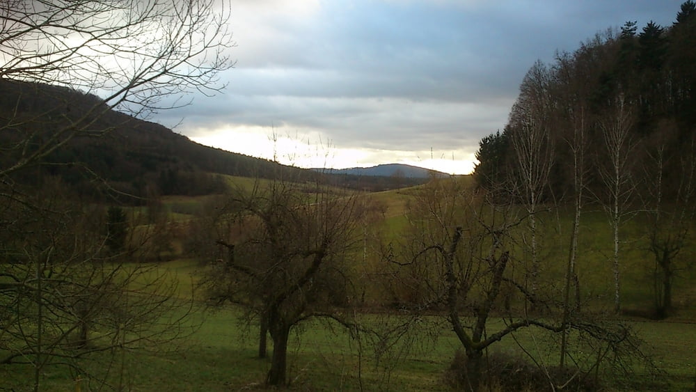
Die Strecke für dieser Wanderung ist zwar nur 4 KM, allerdings werden einige Höhenmeter überwunden. Insofern sollte man schon etwas Kondition mitbringen.
Aufgrund der vielen Wege in dieser Gegend, lässt sich die Strecke noch verkürzen aber auch verlängern.
Galerie du tour
Carte du tour et altitude
Minimum height 417 m
Maximum height 609 m
Commentaires

Tracks GPS
Trackpoints-
GPX / Garmin Map Source (gpx) download
-
TCX / Garmin Training Center® (tcx) download
-
CRS / Garmin Training Center® (crs) download
-
Google Earth (kml) download
-
G7ToWin (g7t) download
-
TTQV (trk) download
-
Overlay (ovl) download
-
Fugawi (txt) download
-
Kompass (DAV) Track (tk) download
-
Feuille de tours (pdf) download
-
Original file of the author (gpx) download
Add to my favorites
Remove from my favorites
Edit tags
Open track
My score
Rate


