
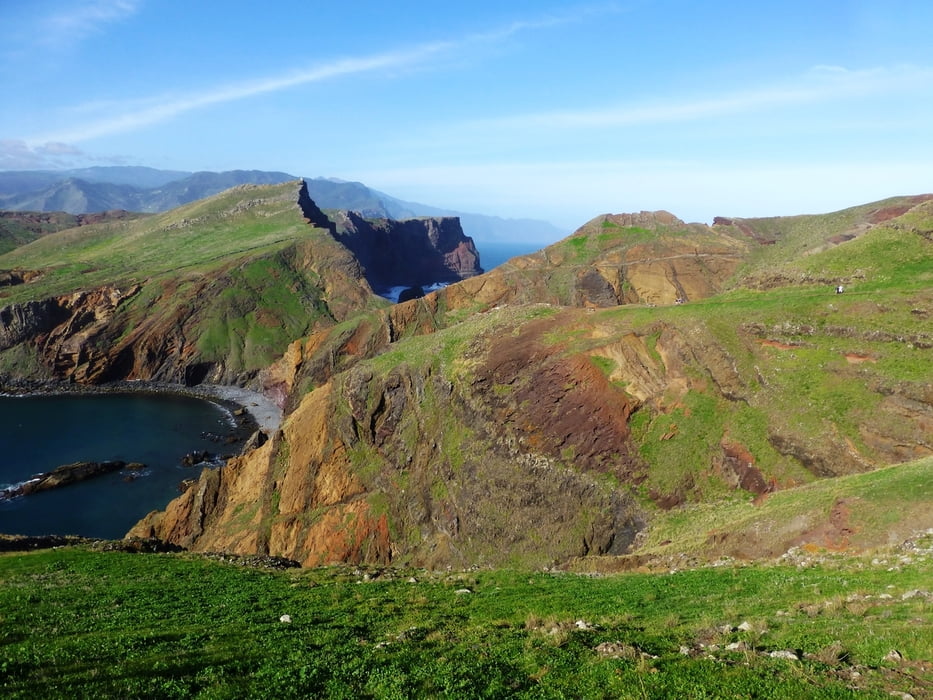

Wir starten am Parkplatz Baia D'Abra und folgen dem Weg leicht bergauf und bergab. Der Weg ist teilweise befestigt und an Wochenenden teils stark frequentiert. Wir erleben immer wieder traumhafte Ausblicke in eine fantastische Landschaft. Später lassen wir die Forschungsstation rechts liegen und folgen dem Weg bis auf den Gipfel. Der Aufstieg dorthin, der sich in jedem Falle lohnt, dauert ca. 15 Minuten. Auf dem Rückweg besteht die Möglichkeit im Atlantik zu baden. Ein "Muss" für jeden Madeira-Wanderer.
Galerie du tour


Carte du tour et altitude
Minimum height 68 m
Maximum height 214 m
More about the tour author
|
|
Meckerfuchs |
Commentaires

Tracks GPS
Trackpoints-
GPX / Garmin Map Source (gpx) download
-
TCX / Garmin Training Center® (tcx) download
-
CRS / Garmin Training Center® (crs) download
-
Google Earth (kml) download
-
G7ToWin (g7t) download
-
TTQV (trk) download
-
Overlay (ovl) download
-
Fugawi (txt) download
-
Kompass (DAV) Track (tk) download
-
Feuille de tours (pdf) download
-
Original file of the author (gpx) download
More about the tour author
|
|
Meckerfuchs |
Add to my favorites
Remove from my favorites
Edit tags
Open track
My score
Rate