


9.1.2014
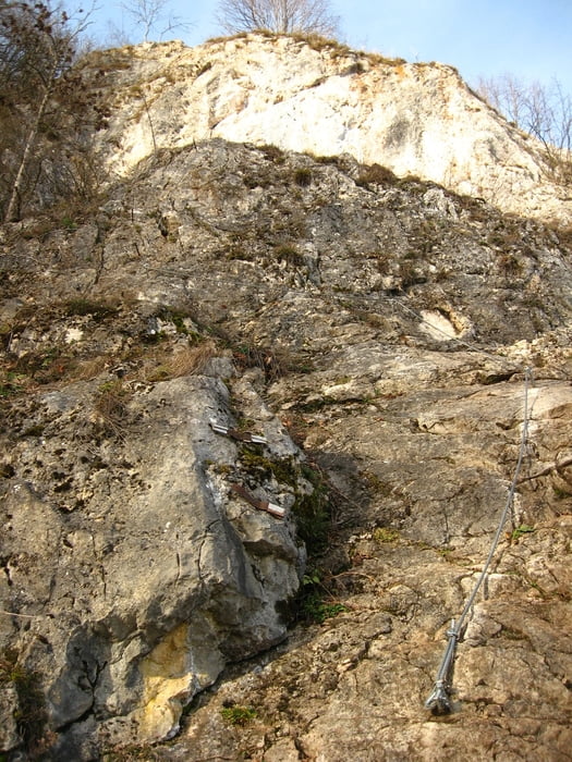
S Tomášom Dedinským trochu ferratovania na Hohe Wand. Dole hmla, hore nádherne slnečno a jarné teploty. Najprv sme si dali hore a dole Waehringers Steig (http://www.bergsteigen.com/klettersteig/niederoesterreich/gutensteiner-alpen/waehringersteig ), potom nahor Ganghofersteig (http://www.bergsteigen.com/klettersteig/niederoesterreich/gutensteiner-alpen/ganghofersteig ) a dole sme zbehli po Handelsteigu (ten bol jednoduchý, takže len klasicky na pešáka, http://www.bergsteigen.com/klettersteig/niederoesterreich/gutensteiner-alpen/hanselsteig). Už len cez hmlu do auta a čakal nás presun na opačný koniec "steny". Pri lezení som mal problémy s obuvou. Vôbec som necítil povrch a podrážka bola tiež príliš tvrdá, tak sa mi to trochu šmýkalo. Sa mi potvrdilo, čo som si všimol pri turistike - na suchom a pórovitom podklade OK, no za mokra, na hladkom (či už drevo alebo kameň) to nie je výhra.
Galerie du tour


Carte du tour et altitude
Minimum height 487 m
Maximum height 846 m
More about the tour author
|
|
tmax |
Commentaires

Dreistetten
Tracks GPS
Trackpoints-
GPX / Garmin Map Source (gpx) download
-
TCX / Garmin Training Center® (tcx) download
-
CRS / Garmin Training Center® (crs) download
-
Google Earth (kml) download
-
G7ToWin (g7t) download
-
TTQV (trk) download
-
Overlay (ovl) download
-
Fugawi (txt) download
-
Kompass (DAV) Track (tk) download
-
Feuille de tours (pdf) download
-
Original file of the author (gpx) download
More about the tour author
|
|
tmax |
Add to my favorites
Remove from my favorites
Edit tags
Open track
My score
Rate