Login

Login oublié ?

Cookies have to be accepted!
Your browser's cookie functionality is disabled. Please enable this functionality.

Not a member yet?

Register now
Login

Available for registred users only

Log in to use this feature.

Login oublié ?

Cookies have to be accepted!
Your browser's cookie functionality is disabled. Please enable this functionality.

Not a member yet?

Register now
Filter
Catégories
Advanced filters
  • Longueur (km)
  • Altimètre
Enregistrer le filtre Reset filter

TrackRank

QRCode

Technical data

Longueur13,8 km Altimètre910 m Way down917 m Durée00:00 h:m Date16.01.2014
Evaluations Author Paysage Aspect amusement Condition Technique

Statistiques

861 Vues Evaluations 21 Téléchargements Moyenne
Rate
  • Feuille de tours
  • Arrivée
  • Téléchargements

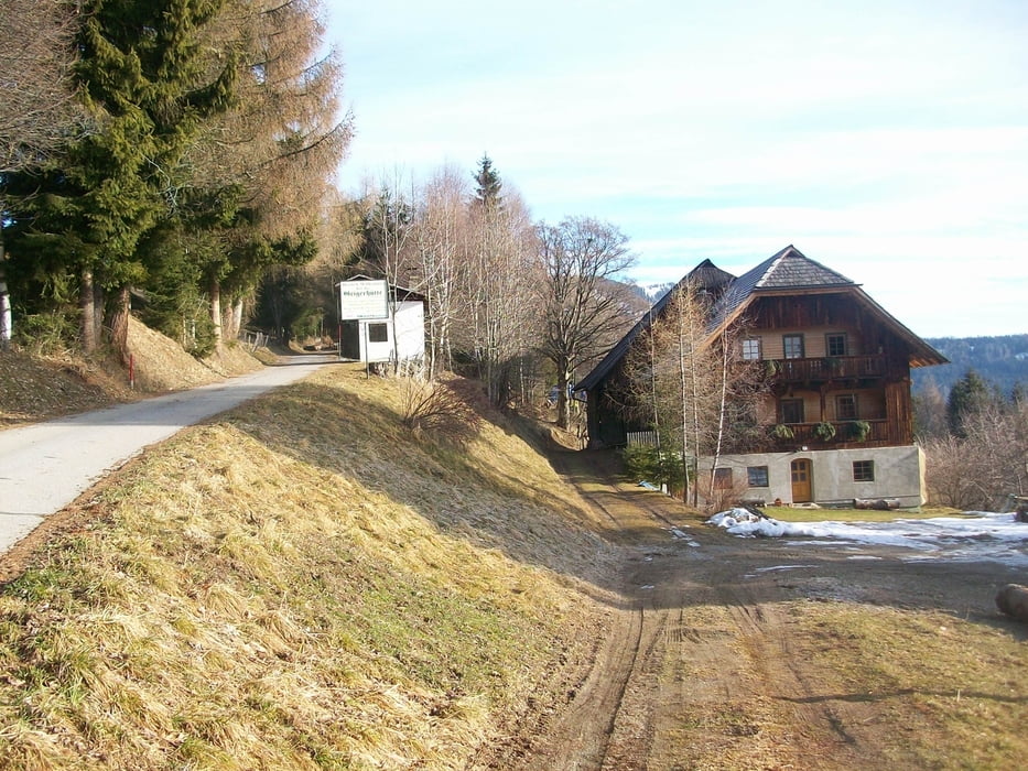
Von Villach aus Richtung Salzburg. Abfahrt "Bad Kleinkirchheim". Danach Richtung Radenthein fahren, nach 10 km Richtung "Arriach" fahren. Dort den Hinweisschildern zum "Wöllaner Nock" folgen bis zur Mautstelle. Die Tour geht am besten wenn man den Strassenverlauf bis zur "Hinteren Wöllaner Hütte" folgt. Von dort sind das "Wöllaner Nock" und das "Vordere Wöllaner Nock" zu sehen.

Abstieg wie Aufstieg.
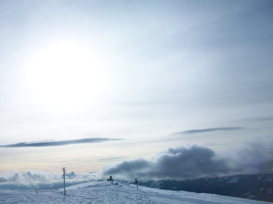
Galerie du tour

Carte du tour et altitude

  • Open Street Map
  • Google
Minimum height 1284 m Maximum height 2155 m Vue de détail

More about the tour author

psmertni
Member since 2014

Send private message

Commentaires

Tracks GPS

Trackpoints
  • GPX / Garmin Map Source (gpx) download
  • TCX / Garmin Training Center® (tcx) download
  • CRS / Garmin Training Center® (crs) download
  • Google Earth (kml) download
  • G7ToWin (g7t) download
  • TTQV (trk) download
  • Overlay (ovl) download
  • Fugawi (txt) download
  • Kompass (DAV) Track (tk) download
  • Feuille de tours (pdf) download
  • Original file of the author (gpx) download

More about the tour author

psmertni
Member since 2014

Send private message
Share track
Add to my favorites
Remove from my favorites
Edit tags
My score
Rate
Tour: Wöllaner Nock
Cat.: Ski touring
Longueur: 13,8 km
Evaluated on:
Durée:
Day(s)
Hour(s)
Minute(s)
Evaluation: Paysage Aspect amusement Condition Technique