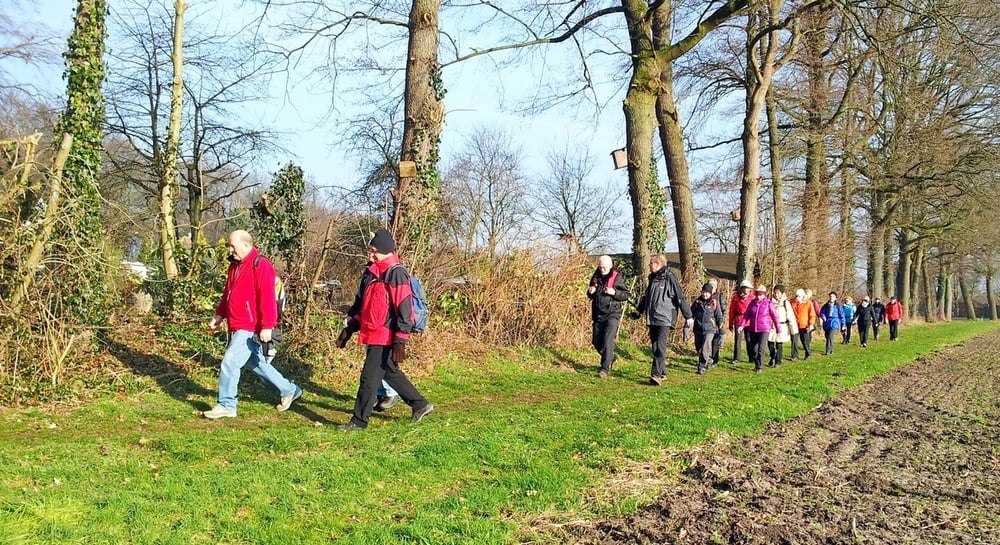
Diese Tour war als Einwegstrecke von der Matthäuskirche nach Isselhorst gedacht(13 km). Aber bei frühlingshaften und sonnigen Temperaturen im Januar, wollte die Gruppe auch den Rückweg zu Fuß machen. So wurden es fast 24 km.
Gegen den Uhrzeigersinn, oft auf schmalen Wegen oder über Wiesen führte uns der Weg nach Isselhorst. Der Rückweg, erst an der Osnabrücker Landstraße, dann unter dem bekannten "Eisenbahnkreuz Röhrheide " von 1914, über die Eimerheide nach Sundern.
Galerie du tour
Carte du tour et altitude
Minimum height 74 m
Maximum height 126 m
Commentaires

Tracks GPS
Trackpoints-
GPX / Garmin Map Source (gpx) download
-
TCX / Garmin Training Center® (tcx) download
-
CRS / Garmin Training Center® (crs) download
-
Google Earth (kml) download
-
G7ToWin (g7t) download
-
TTQV (trk) download
-
Overlay (ovl) download
-
Fugawi (txt) download
-
Kompass (DAV) Track (tk) download
-
Feuille de tours (pdf) download
-
Original file of the author (gpx) download
Add to my favorites
Remove from my favorites
Edit tags
Open track
My score
Rate


