Login

Login oublié ?

Cookies have to be accepted!
Your browser's cookie functionality is disabled. Please enable this functionality.

Not a member yet?

Register now
Login

Available for registred users only

Log in to use this feature.

Login oublié ?

Cookies have to be accepted!
Your browser's cookie functionality is disabled. Please enable this functionality.

Not a member yet?

Register now
Filter
Catégories
Advanced filters
  • Longueur (km)
  • Altimètre
Enregistrer le filtre Reset filter

TrackRank

QRCode

Technical data

Longueur9,7 km Altimètre930 m Way down896 m Durée03:00 h:m Date03.02.2014
Evaluations Author Paysage Aspect amusement Condition Technique

Statistiques

397 Vues Evaluations 40 Téléchargements Moyenne
Rate
  • Feuille de tours
  • Arrivée
  • Téléchargements

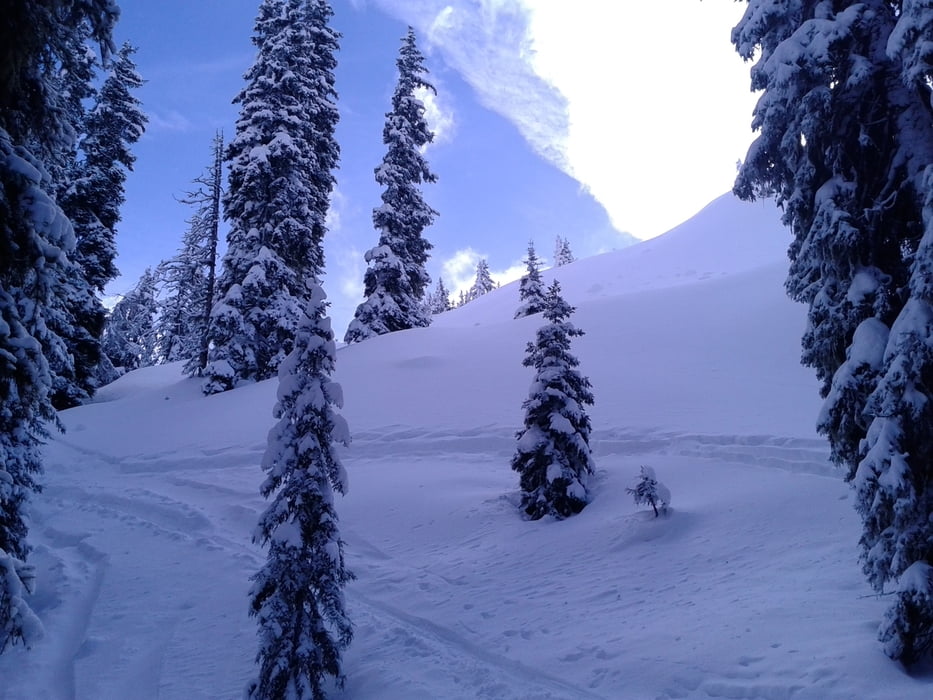
Wunderbarer Aufstieg durch den Wald. In Gipfelnähe gewaltiger Fönsturm. Tolle Abfahrt bis zur Sattelberger Alm, viel Pulver! Die Alm ist auch sehr zu empfehlen.

Eine Tour, die auch bei prekären Schneeverhältnissen möglich ist.


Galerie du tour

Carte du tour et altitude

  • Open Street Map
  • Google
Minimum height 1177 m Maximum height 2123 m Vue de détail

More about the tour author

mitter
Member since 2008

Send private message

Commentaires

Start in Gries am Brenner. Parkplatzgebühr!


Tracks GPS

Trackpoints
  • GPX / Garmin Map Source (gpx) download
  • TCX / Garmin Training Center® (tcx) download
  • CRS / Garmin Training Center® (crs) download
  • Google Earth (kml) download
  • G7ToWin (g7t) download
  • TTQV (trk) download
  • Overlay (ovl) download
  • Fugawi (txt) download
  • Kompass (DAV) Track (tk) download
  • Feuille de tours (pdf) download
  • Original file of the author (gpx) download

More about the tour author

mitter
Member since 2008

Send private message
Share track
Add to my favorites
Remove from my favorites
Edit tags
My score
Rate
Tour: Sattelberg 140203
Cat.: Ski touring
Longueur: 9,7 km
Evaluated on:
Durée:
Day(s)
Hour(s)
Minute(s)
Evaluation: Paysage Aspect amusement Condition Technique