

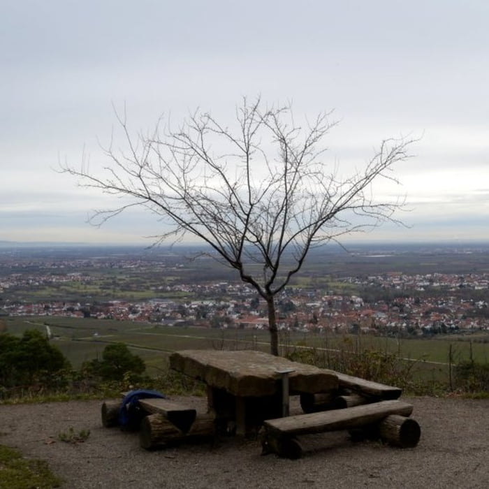
Startpunkt der Tour ist ein Parkplatz am Neuen Weinbach. Diese Tour zunächst am Saum des Pfälzerwaldes, nach kurzer Zeit erreicht man einen Picknickplatz mit sehr schönem Ausblick in die Rheinebene. Beim Weinbach fürht die Strecke in den Wald und steigt anschließend stetig an bis zur Michaelskapelle – auch dort ist ein sehr schöner Ausblick möglich. Auch der nächste Abschnitt zur Fliehburg steigt an bevor es dann weiter in Richtung Eckkopf geht. Vor dem Eckkopf biegt die Tour wieder in Richtung Osten und fällt dann kontinuierlich bis zur Wallberg Denkmal und der Wallberghütte ab. Der Pfad zurück zum Parkplatz ist die kürzeste Verbindung, er ist sehr steil.
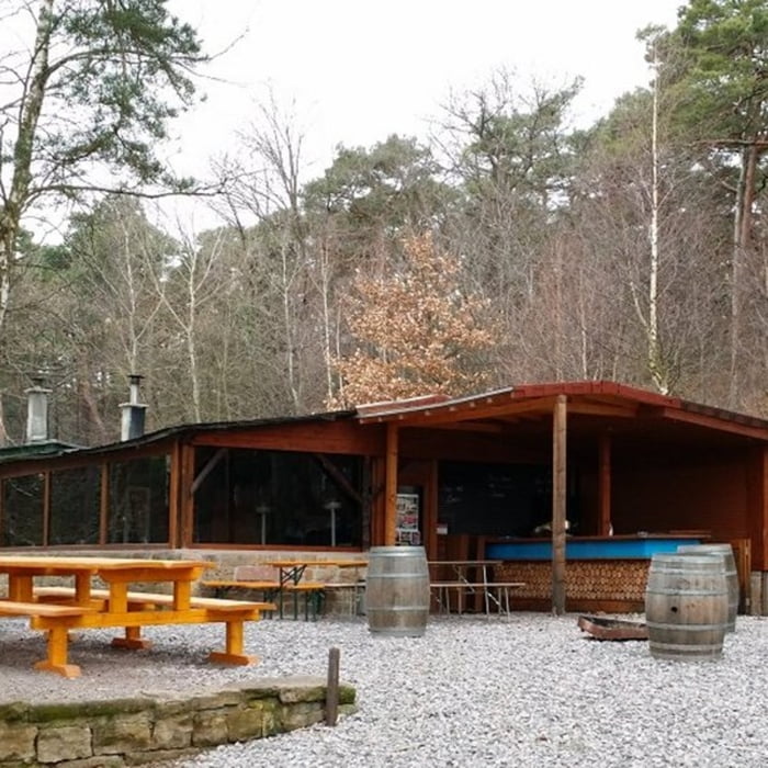
Galerie du tour


Carte du tour et altitude
Minimum height 171 m
Maximum height 460 m
More about the tour author

|
isg13 |
Commentaires

Tracks GPS
Trackpoints-
GPX / Garmin Map Source (gpx) download
-
TCX / Garmin Training Center® (tcx) download
-
CRS / Garmin Training Center® (crs) download
-
Google Earth (kml) download
-
G7ToWin (g7t) download
-
TTQV (trk) download
-
Overlay (ovl) download
-
Fugawi (txt) download
-
Kompass (DAV) Track (tk) download
-
Feuille de tours (pdf) download
-
Original file of the author (gpx) download
More about the tour author
|
|
isg13 |
Add to my favorites
Remove from my favorites
Edit tags
Open track
My score
Rate