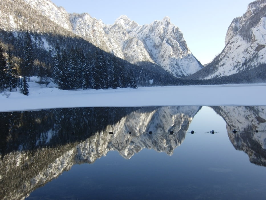
Wir haben einen halben Tag Zeit, um ein paar Kilometer im Pustertal - genauer in Toblach - zu laufen. Vom Langlaufstadion aus sind wir einfach losgelaufen. Die Loipen sind gut gespurt. Wir laufen mit ein paar Schlenkern bis zum Toblacher See.
Im Gegensatz zu den Voralpen ist im Pustertal in Toblach genügend Schnee. Die Loipen bieten sowohl für Anfänger im Tal flache Loipen, als auch anspruchsvolle Loipen, bei denen man schon auch Abfahren können muß.
Wir sind mit Scating-Ski gelaufen. Die meisten Loipen sind klassisch und Skating gespurt. Damit haben alle tolle Loipen.
Further information at
http://www.hochpustertal.info/suedtirol/toblach/winter/langlaufen.htmlGalerie du tour
Carte du tour et altitude
Commentaires

Über die A8 bis zum Inntal-Dreieck, dann über die A93 und A12 bis Innsbruck, weiter über die Brennerautobahn über den Brenner bis nach Brixen. Dort ab ins Pustertal ca. 65km bis Toblach.
Geparkt haben wir am Toblacher Langlaufzentrum. Parkgebühr fällt keine an.
Loipengebühr kostet am Tag fünf Eur.
Tracks GPS
Trackpoints-
GPX / Garmin Map Source (gpx) download
-
TCX / Garmin Training Center® (tcx) download
-
CRS / Garmin Training Center® (crs) download
-
Google Earth (kml) download
-
G7ToWin (g7t) download
-
TTQV (trk) download
-
Overlay (ovl) download
-
Fugawi (txt) download
-
Kompass (DAV) Track (tk) download
-
Feuille de tours (pdf) download
-
Original file of the author (gpx) download


