Login

Login oublié ?

Cookies have to be accepted!
Your browser's cookie functionality is disabled. Please enable this functionality.

Not a member yet?

Register now
Login

Available for registred users only

Log in to use this feature.

Login oublié ?

Cookies have to be accepted!
Your browser's cookie functionality is disabled. Please enable this functionality.

Not a member yet?

Register now
Filter
Catégories
Advanced filters
  • Longueur (km)
  • Altimètre
Enregistrer le filtre Reset filter

TrackRank

QRCode

Technical data

Longueur22,6 km Altimètre643 m Way down647 m Durée04:00 h:m Date23.02.2014
Evaluations Author Paysage Aspect amusement Condition Technique

Statistiques

367 Vues Evaluations 17 Téléchargements Moyenne
Rate
  • Feuille de tours
  • Arrivée
  • Téléchargements

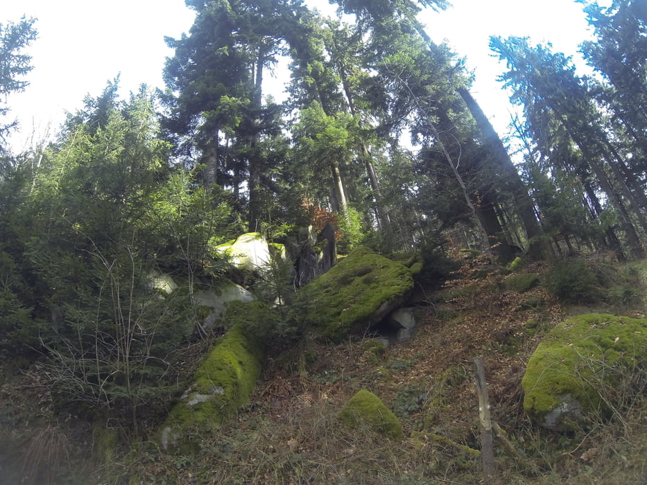
Ekartsberg am Tanzboden bei Haslach an der Mühl.

 Einer der höchsten Gipfel des Mühlviertels - der Ekartsberg.

Anreise über Güterweg Wald und Wiesenwegen - die letzten wenigern Höhenmetern zum Gipfel sind nur zu Fuß zu bewerkstelligen.


Galerie du tour

Carte du tour et altitude

  • Open Street Map
  • Google
Minimum height 496 m Maximum height 762 m Vue de détail

More about the tour author

Hoar
Member since 2009

Send private message

Commentaires

Tracks GPS

Trackpoints
  • GPX / Garmin Map Source (gpx) download
  • TCX / Garmin Training Center® (tcx) download
  • CRS / Garmin Training Center® (crs) download
  • Google Earth (kml) download
  • G7ToWin (g7t) download
  • TTQV (trk) download
  • Overlay (ovl) download
  • Fugawi (txt) download
  • Kompass (DAV) Track (tk) download
  • Feuille de tours (pdf) download
  • Original file of the author (gpx) download

More about the tour author

Hoar
Member since 2009

Send private message
Share track
Add to my favorites
Remove from my favorites
Edit tags
My score
Rate
Tour: Ekartsberg am Tanzboden bei Haslach an der Mühl
Cat.: Mountainbike
Longueur: 22,6 km
Evaluated on:
Durée:
Day(s)
Hour(s)
Minute(s)
Evaluation: Paysage Aspect amusement Condition Technique